
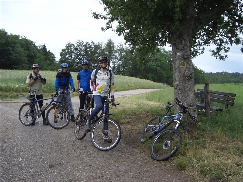

Diese landschaftliche Traumtour startet in Heidelberg an der Bergstraße, Ecke Brückenkopfstraße und führt teils dem blauen B Höhenweg entlang der Bergstraße (Neuenheim, Handschuhsheim, Dossenheim, Schriesheim, Leutershausen). Ab da folgt man dem gelben römisch II bis unterhalb dem Eichelberg. Anschließend folgen wir dem weißen Kreuz, Kohlhof, Erbrunner Höhe, Langer Kirschbaum, Weißer Stein (Einkehrmöglichkeit), Sieben Wege und wieder zurück zum Ausgangspunkt.
Die Tour wurde von Werner Wolf-Holzäpfel (Mitglied der MTB%radhd-Mailingliste) geplant. Wer Heidelberg und Umgebung Bike-spezifisch besser kennenlernen möchte, kann gerne Mitglied der Mailingliste werden. Einfach eine Email an mailto:UlhillerDIESESLOESCHEN@aol.com und schon werdet Ihr über MTB-Touren informiert oder könnt selbst welche anbieten.
Die Tour wurde von Werner Wolf-Holzäpfel (Mitglied der MTB%radhd-Mailingliste) geplant. Wer Heidelberg und Umgebung Bike-spezifisch besser kennenlernen möchte, kann gerne Mitglied der Mailingliste werden. Einfach eine Email an mailto:UlhillerDIESESLOESCHEN@aol.com und schon werdet Ihr über MTB-Touren informiert oder könnt selbst welche anbieten.
Further information at
http://www.van-der-voorden.comMapa trasy a výškový profil
Minimum height 126 m
Maximum height 550 m
More about the tour author

|
EMSI |
komentáre
Heidelberg an der Bergstraße, Ecke Brückenkopfstraße. Aufgang zum Philosophenweg.
GPS trasy
Trackpoints-
GPX / Garmin Map Source (gpx) download
-
TCX / Garmin Training Center® (tcx) download
-
CRS / Garmin Training Center® (crs) download
-
Google Earth (kml) download
-
G7ToWin (g7t) download
-
TTQV (trk) download
-
Overlay (ovl) download
-
Fugawi (txt) download
-
Kompass (DAV) Track (tk) download
-
list trasy (pdf) download
-
Original file of the author (g7t) download
More about the tour author
|
|
EMSI |
Add to my favorites
Remove from my favorites
Edit tags
Open track
My score
Rate
Mailing-Liste