

Ausgangspunkt:Wanderparkplatz Sojernstr. in Krün
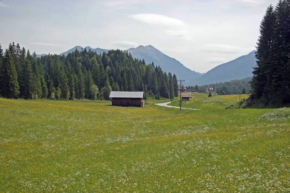
Vom Parkplatz gehts Richtung Kirche,dort die Haupt- Straße überquerend, nach Barmsee fahren.Am Barmsee auf dem Rad/Fußweg neben der B2 nach Klais,die Unterführung hindurch,die Gleise überqueren,rechts in die Bahnhofstr.und gleich wieder links in den Ellmauer Weg(Römerweg) nun stetig ansteigend zum Erholungsheim Kranzbach radeln.Von dort auf der Straße weiter u.nach ca.300m rechts ab, auf dem Rad/Fußweg durch Wald zum Schloß Elmau. (kräfteschonender als weiter auf der Straße) Dort angekommen,treffen wir wieder auf den Ellmauer Weg u. radeln am Parkplatz und am" Eingang" des Hotels vorbei,den Ferchenbach entlang, am Ferchen- und Lautersee vorbei, mit herrlichen Ausblicken, nach Mittenwald hinunter.Nun weiter auf dem Lauterseeweg über Laintalweg zur Partenkircher Str.Links abbiegend auf ihr stadtauswärts u.dann links in die St.2542 abbiegen.Diese steil aufwärts bis es nach rechts "Am Schmalsee" abgeht.Von dort weiter über die Buckelwiesen hinauf zum Tonihof und nun hinunter nach Krün u.zurück zum Parkplatz.
galéria trás


Mapa trasy a výškový profil
Minimum height 880 m
Maximum height 1089 m
More about the tour author

|
Cambrigde |
komentáre

GPS trasy
Trackpoints-
GPX / Garmin Map Source (gpx) download
-
TCX / Garmin Training Center® (tcx) download
-
CRS / Garmin Training Center® (crs) download
-
Google Earth (kml) download
-
G7ToWin (g7t) download
-
TTQV (trk) download
-
Overlay (ovl) download
-
Fugawi (txt) download
-
Kompass (DAV) Track (tk) download
-
list trasy (pdf) download
-
Original file of the author (gpx) download
More about the tour author
|
|
Cambrigde |
Add to my favorites
Remove from my favorites
Edit tags
Open track
My score
Rate