

Klassische Runde über Forstraßen hinauf, Umfahrung des Hochwechselplateaus mit vielen schönen Trails und Wegerln.
galéria trás
Mapa trasy a výškový profil
Minimum height 830 m
Maximum height 1748 m
More about the tour author

|
NoDoc |
komentáre

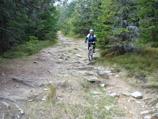
Ausgangspunkt Mariensee, großer Parkplatz, auf der Asfaltstraße Richtung Westen bis zum Startpunkt des Tracks (GPS zu spät aufgedreht...) Über Forstraßen entweder dem Track folgend oder der Markierung "Zur Alm" folgen-Marienseer Schwaig - zuerst noch fahrbar dann etwa 20min schiebend über die Alm wiesen zum Hochwechselhaus. Leider ein typisches, verrauchtes Autofahrerschutzhaus... In einem großen Bogen zur Kamptaler Schwaig - Herrgottschnitzer Haus - und über z.T schon etwas verwachsene Wegerl wieder nach Mariensee.
Schwierigkeit von 1 bis 4, da teilw. kurze schwere Stellen dabei sind (z.B. vor der Herrgottschn. hütte) Dauer: Von 3 bis 5 Stunden je nachdem
Schwierigkeit von 1 bis 4, da teilw. kurze schwere Stellen dabei sind (z.B. vor der Herrgottschn. hütte) Dauer: Von 3 bis 5 Stunden je nachdem
GPS trasy
Trackpoints-
GPX / Garmin Map Source (gpx) download
-
TCX / Garmin Training Center® (tcx) download
-
CRS / Garmin Training Center® (crs) download
-
Google Earth (kml) download
-
G7ToWin (g7t) download
-
TTQV (trk) download
-
Overlay (ovl) download
-
Fugawi (txt) download
-
Kompass (DAV) Track (tk) download
-
list trasy (pdf) download
-
Original file of the author (g7t) download
More about the tour author
|
|
NoDoc |
Add to my favorites
Remove from my favorites
Edit tags
Open track
My score
Rate