


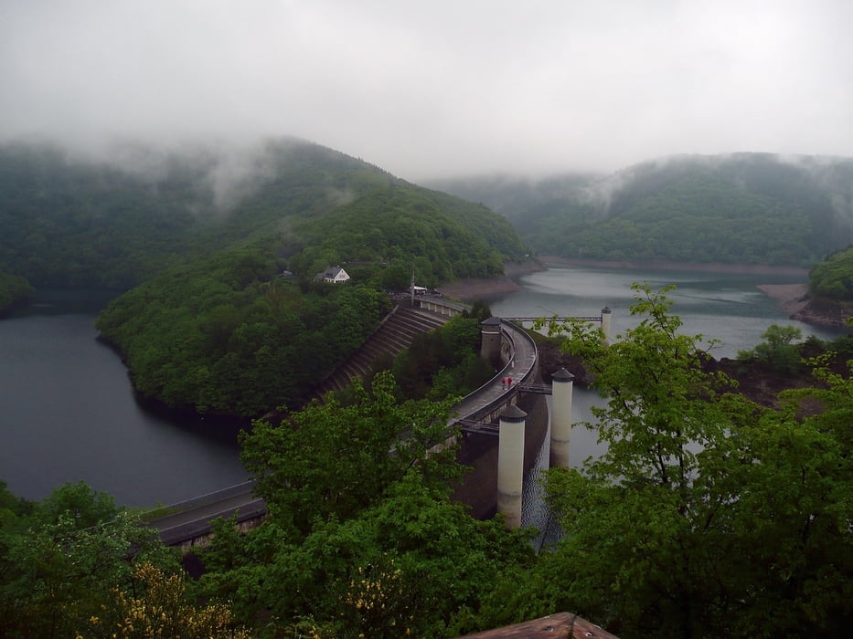
Meine Frau und ich haben die ca 85 km lange Wanderung in 4 Tagen zurückgelegt. Die einzelnen Touren waren zwischen 19 und 26 km lang. Bis zu 8 h Stunden liefen wir, wobei wir viele Pausen einlegten. Teilweise mußten wir einige heftige Anstiege bewältigen. Dafür konnten wir aber auch schöne Ausblicke geniessen und haben viel Wald, Wiesen und Bäche erleben dürfen. Festes Schuhwerk ist empfehlenswert ebenso etwas Kondition. Je nach Wetterlage ist Regenkleidung nicht verkehrt
galéria trás


Mapa trasy a výškový profil
Minimum height 177 m
Maximum height 631 m
More about the tour author

|
alfred |
komentáre

GPS trasy
Trackpoints-
GPX / Garmin Map Source (gpx) download
-
TCX / Garmin Training Center® (tcx) download
-
CRS / Garmin Training Center® (crs) download
-
Google Earth (kml) download
-
G7ToWin (g7t) download
-
TTQV (trk) download
-
Overlay (ovl) download
-
Fugawi (txt) download
-
Kompass (DAV) Track (tk) download
-
list trasy (pdf) download
-
Original file of the author (gpx) download
More about the tour author
|
|
alfred |
Add to my favorites
Remove from my favorites
Edit tags
Open track
My score
Rate