


Von Rosental vor zum Lift nach Neukirchen.
Mit dem Lift hoch zum Wildkogel. Wer nicht Liften möchte kann auch über Bramberg und dann links ab ins Mühlbachtal fahren. Siehe GPX-File vom 26.06.2010.
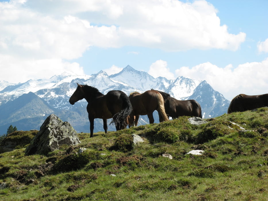
Rasant hinab ins Mühlbachtal. An der Baumgartenalm wieder bergauf zur Stangeralm. Herrlicher Blick auf den Rettenstein.
Über die Rettensteinalm und Aschau hinab nach Kirchberg in Tirol. Gute Einkehrmöglichkeiten.
Über Brixen im Thale und Westendorf nach Windau zum Einstieg in das Tal der Windauer Arche.
Sanfter Anstieg bis zur Gamskogelhütte von dort an wird's dann steiler.
In Serpentinen hoch zur Filzenscharte mit kurzem Schiebestück auf einem verblockten Trail.
Traumhafte Ausblick beim durchfahren des Fitzenbachtals bis zur Sonntag Grundalm..
Das Trattenbachtal hinab und links ab. Kurzer Anstieg zum Einstieg in den Rob J. Supertrail.
Abfahrt auf dem unteren Teilstück des Rob J. Supertrail und den gebauten Channel nach Neukirchen.
Zurück nach Rosental.
galéria trás


Mapa trasy a výškový profil
Minimum height 778 m
Maximum height 2060 m
More about the tour author
|
|
martinvollmar |
komentáre

GPS trasy
Trackpoints-
GPX / Garmin Map Source (gpx) download
-
TCX / Garmin Training Center® (tcx) download
-
CRS / Garmin Training Center® (crs) download
-
Google Earth (kml) download
-
G7ToWin (g7t) download
-
TTQV (trk) download
-
Overlay (ovl) download
-
Fugawi (txt) download
-
Kompass (DAV) Track (tk) download
-
list trasy (pdf) download
-
Original file of the author (gpx) download
More about the tour author
|
|
martinvollmar |
Add to my favorites
Remove from my favorites
Edit tags
Open track
My score
Rate