


Bei dieser Trekkingradtour ist es wichtig hart im Nehmen zu sein.
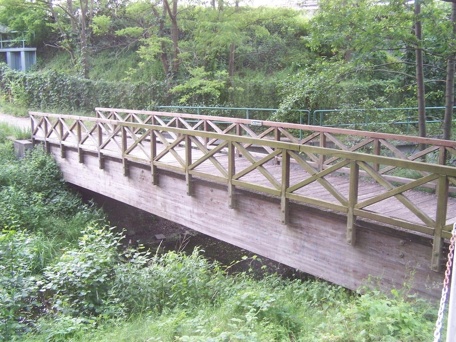
Über etliche Kilometer geht es auf holprigen Plattenwegen entlang. Einige glattere Asphaltstrecken entspannen den Po. Besonders schön empfinde ich aber die Abschnitte auf eher festen Feld- und Waldwegen.
Der im Link aufgeführte Kurzwegweiser beschreibt die Tour vom S-Bahnhof Lichtenrade aus.
P.S. Das Buch Berliner Umland Süd hat noch ein paar nette Überaschungen im Inhalt.
Viel Spass.
Further information at
http://www.klaras-verlag.de/KurzbeschreibungenUMSued3.htmgaléria trás
Mapa trasy a výškový profil
Minimum height 22 m
Maximum height 53 m
More about the tour author
|
|
Pheinz |
komentáre

GPS trasy
Trackpoints-
GPX / Garmin Map Source (gpx) download
-
TCX / Garmin Training Center® (tcx) download
-
CRS / Garmin Training Center® (crs) download
-
Google Earth (kml) download
-
G7ToWin (g7t) download
-
TTQV (trk) download
-
Overlay (ovl) download
-
Fugawi (txt) download
-
Kompass (DAV) Track (tk) download
-
list trasy (pdf) download
-
Original file of the author (gpx) download
More about the tour author
|
|
Pheinz |
Add to my favorites
Remove from my favorites
Edit tags
Open track
My score
Rate