Login

Zabudli ste prihlasovacia meno

Cookies have to be accepted!
Your browser's cookie functionality is disabled. Please enable this functionality.

Not a member yet?

Register now
Login

Available for registred users only

Log in to use this feature.

Zabudli ste prihlasovacia meno

Cookies have to be accepted!
Your browser's cookie functionality is disabled. Please enable this functionality.

Not a member yet?

Register now
Filter
Kategórie
Advanced filters
  • Dĺžka (km)
  • výškomer
Uložiť filter Reset filter

TrackRank

QRCode

Technical data

Dĺžka40,6 km výškomer754 m Way down708 m Doba04:00 h:m dátum26.06.2010
ohodnotenia Author User Kraj pôžitok z túry kondícia technika

štatistika

2259 náhľady 1 ohodnotenie 597 Stiahnutia 4.00 priemer
Rate
  • list trasy
  • príjazd
  • Stiahnutia

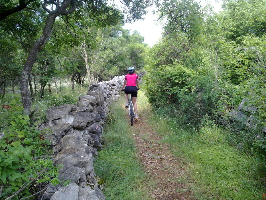
This trail starts in the town of Krk. From Krk until Porat it is almost entirely off road. Mostly macadam roads with some singletracks. It goes through some of the most beautiful parts of Krk island through green forests.  Along the way there is also a sandy beach, so bring swimming gear.

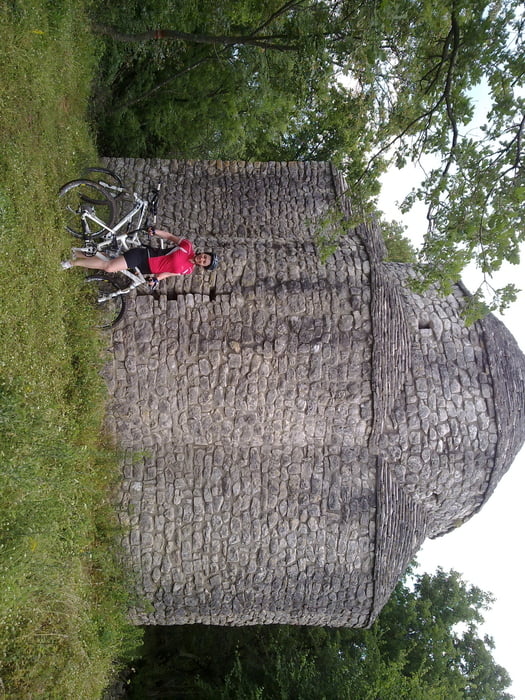
At  Porat we were cuaght by rain so we took the shortest way to town Krk. I recommend you use the map an find some more interesting way back if you are more lucky with the weather.

galéria trás

Mapa trasy a výškový profil

  • Open Street Map
  • Google
Minimum height Maximum height 203 m Detailný pohľad

More about the tour author

sunkica
Member since 2008

Send private message

komentáre

GPS trasy

Trackpoints
  • GPX / Garmin Map Source (gpx) download
  • TCX / Garmin Training Center® (tcx) download
  • CRS / Garmin Training Center® (crs) download
  • Google Earth (kml) download
  • G7ToWin (g7t) download
  • TTQV (trk) download
  • Overlay (ovl) download
  • Fugawi (txt) download
  • Kompass (DAV) Track (tk) download
  • list trasy (pdf) download
  • Original file of the author (gpx) download

More about the tour author

sunkica
Member since 2008

Send private message
Share track
Add to my favorites
Remove from my favorites
Edit tags
My score
Rate
trasa: Krk to Malinska through the woods
Druh: horský bicykel
Dĺžka: 40,6 km
Evaluated on:
Doba:
Day(s)
Hour(s)
Minute(s)
ohodnotenie: Kraj pôžitok z túry kondícia technika