Login

Zabudli ste prihlasovacia meno

Cookies have to be accepted!
Your browser's cookie functionality is disabled. Please enable this functionality.

Not a member yet?

Register now
Login

Available for registred users only

Log in to use this feature.

Zabudli ste prihlasovacia meno

Cookies have to be accepted!
Your browser's cookie functionality is disabled. Please enable this functionality.

Not a member yet?

Register now
Filter
Kategórie
Advanced filters
  • Dĺžka (km)
  • výškomer
Uložiť filter Reset filter

TrackRank

QRCode

Technical data

Dĺžka126,5 km výškomer1747 m Way down1741 m Doba06:00 h:m dátum03.07.2010
ohodnotenia Author Kraj pôžitok z túry kondícia technika

štatistika

1640 náhľady 1 ohodnotenie 41 Stiahnutia 3.00 priemer
Rate
  • list trasy
  • príjazd
  • Stiahnutia

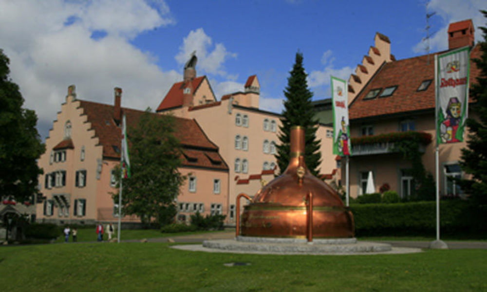
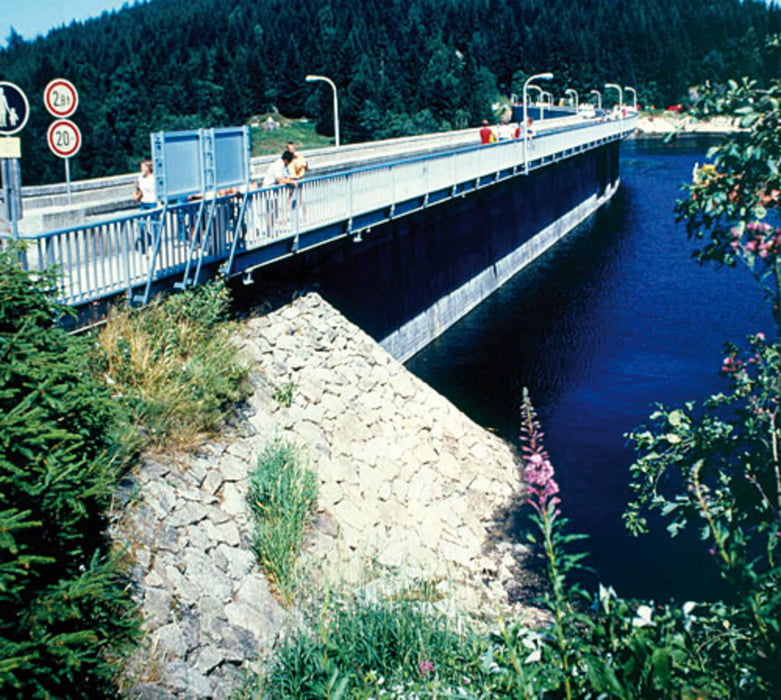
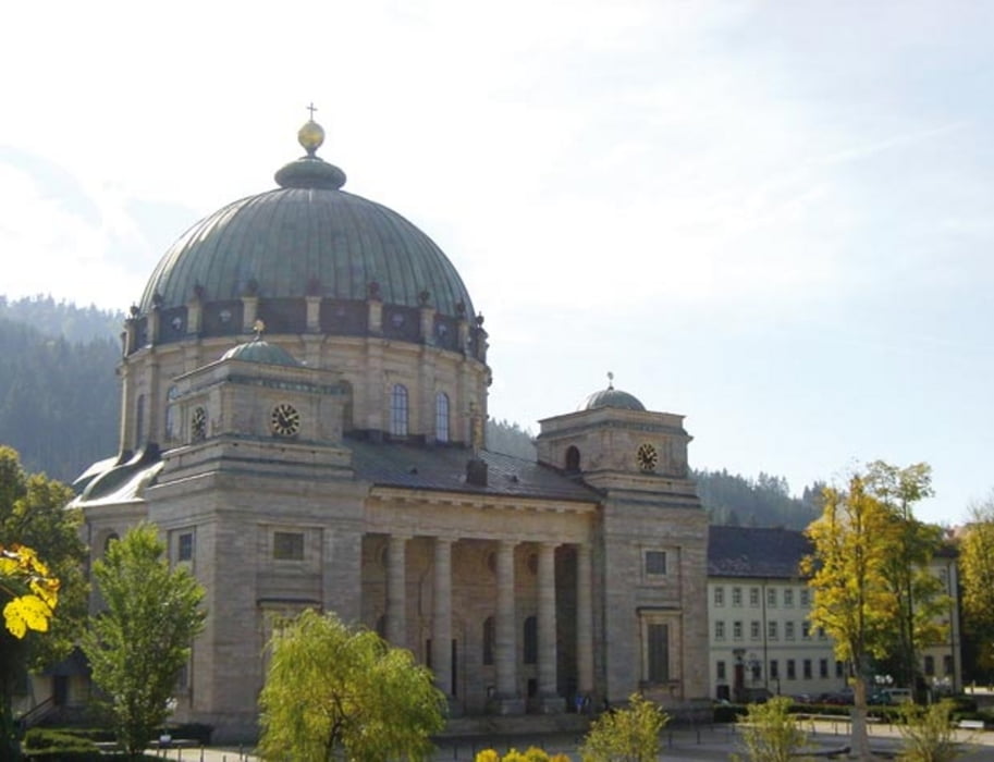
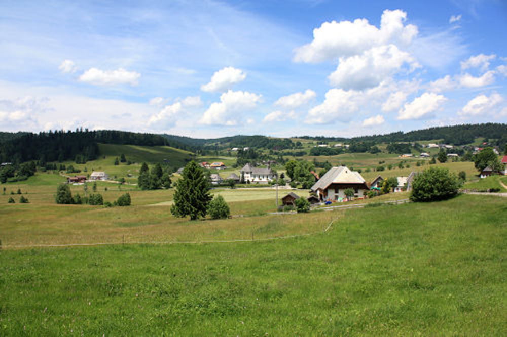
Stühlingen - Bettmaringen - Grafenhausen - Schluchsee - St. Blasien - Ibach - Herrenschried - Bad Säckingen - Waldshut - Wutoschingen - Stühlingen. Für ersten 50km Quälerei wird man durch über 20km geniale Abfahrt belohnt. Einkehrmöglichkeiten gibt es zu genüge aber vom Streckenverlauf her würde ich das idylische St. Blasien empfehlen.

galéria trás

Mapa trasy a výškový profil

  • Open Street Map
  • Google
Minimum height 307 m Maximum height 1119 m Detailný pohľad

More about the tour author

Nzer_de
Member since 2010

Send private message

komentáre

GPS trasy

Trackpoints
  • GPX / Garmin Map Source (gpx) download
  • TCX / Garmin Training Center® (tcx) download
  • CRS / Garmin Training Center® (crs) download
  • Google Earth (kml) download
  • G7ToWin (g7t) download
  • TTQV (trk) download
  • Overlay (ovl) download
  • Fugawi (txt) download
  • Kompass (DAV) Track (tk) download
  • list trasy (pdf) download
  • Original file of the author (gpx) download

More about the tour author

Nzer_de
Member since 2010

Send private message
Share track
Add to my favorites
Remove from my favorites
Edit tags
My score
Rate
trasa: Stühlingen - Grafenhausen - Schluchsee - St. Blasien - Ibach - Herrehschried
Druh: pretekársky bicykel
Dĺžka: 126,5 km
Evaluated on:
Doba:
Day(s)
Hour(s)
Minute(s)
ohodnotenie: Kraj pôžitok z túry kondícia technika