Login

Zabudli ste prihlasovacia meno

Cookies have to be accepted!
Your browser's cookie functionality is disabled. Please enable this functionality.

Not a member yet?

Register now
Login

Available for registred users only

Log in to use this feature.

Zabudli ste prihlasovacia meno

Cookies have to be accepted!
Your browser's cookie functionality is disabled. Please enable this functionality.

Not a member yet?

Register now
Filter
Kategórie
Advanced filters
  • Dĺžka (km)
  • výškomer
Uložiť filter Reset filter

TrackRank

QRCode

Technical data

Dĺžka15,4 km výškomer431 m Way down431 m Doba00:00 h:m dátum07.07.2010
ohodnotenia Author User Kraj pôžitok z túry kondícia technika

štatistika

547 náhľady 2 ohodnotenia 69 Stiahnutia 3.50 priemer
Rate
  • list trasy
  • príjazd
  • Stiahnutia

Die Tour startet und endet am Parkplatz auf dem Hoherodskopf.

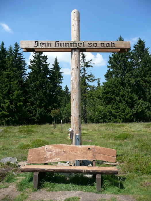
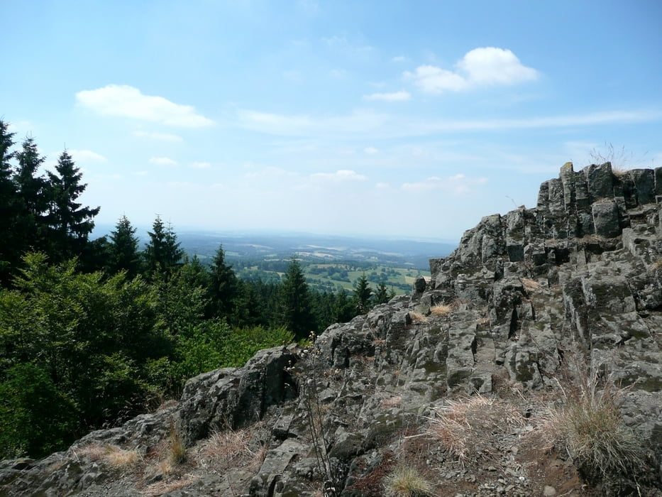
Diese ErlebnisTour führt über bunte Wiesen und durch abwechslungsreiche Waldgebiete mit urwüchsigen Basaltformationen. Es geht insgesamt über 5 Gipfel. Diese gehören zu den höchsten des Vogelsberg Vulkans und bieten herrliche Aussichten.

galéria trás

Mapa trasy a výškový profil

  • Open Street Map
  • Google
Minimum height 466 m Maximum height 762 m Detailný pohľad

More about the tour author

Biker-Tommy
Member since 2009

Send private message

komentáre

Balun51 on 24.08.2010

Schöne Tour

Die Gipfel-Tor ist nicht schlecht. Man hat immer wieder schöne Ausblicke.
Ein Tipp: Man kann die Tour auch in Busenborn beginnen und in Richtung Bilstein und Hoherodskopf wandern. Dann hat man die Steigungen hinter sich, solange man noch frisch ist. Danach geht es praktisch nur noch abwärts.
glamoramabyellis on 05.12.2010

Hoherodskopf

Obwohl die 15km eigentlich einfach zu laufen sind, ist die Wanderung bei Schnee recht anspruchsvoll. Schneeverwehungen, Kälte und Gegenwind - aber genial !!!!

GPS trasy

Trackpoints
  • GPX / Garmin Map Source (gpx) download
  • TCX / Garmin Training Center® (tcx) download
  • CRS / Garmin Training Center® (crs) download
  • Google Earth (kml) download
  • G7ToWin (g7t) download
  • TTQV (trk) download
  • Overlay (ovl) download
  • Fugawi (txt) download
  • Kompass (DAV) Track (tk) download
  • list trasy (pdf) download
  • Original file of the author (tcx) download

More about the tour author

Biker-Tommy
Member since 2009

Send private message
Share track
Add to my favorites
Remove from my favorites
Edit tags
My score
Rate
trasa: Gipfel - Tour Schotten
Druh: trasa
Dĺžka: 15,4 km
Evaluated on:
Doba:
Day(s)
Hour(s)
Minute(s)
ohodnotenie: Kraj pôžitok z túry kondícia technika