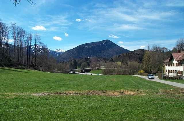
Schöne auf den ersten 4-6 Kilometer anstrengende Tour von Immenstadt um das Immenstädter Horn.
Mapa trasy a výškový profil
Minimum height 495 m
Maximum height 1406 m
komentáre
A 7 Fahrtrichtung Kempten, Ausfahrt Sonthofen / Immenstadt, der Beschilderung folgen, in Immenstadt Richtung Zentrum, Richtung Mittag Bahn. Beim Friedhof bzw. in der näheren Umgebung findet man ausreichend Parkplätze.
Anfahrt mit der Bahn ist auch unproblematisch.
Anfahrt mit der Bahn ist auch unproblematisch.
GPS trasy
Trackpoints-
GPX / Garmin Map Source (gpx) download
-
TCX / Garmin Training Center® (tcx) download
-
CRS / Garmin Training Center® (crs) download
-
Google Earth (kml) download
-
G7ToWin (g7t) download
-
TTQV (trk) download
-
Overlay (ovl) download
-
Fugawi (txt) download
-
Kompass (DAV) Track (tk) download
-
list trasy (pdf) download
-
Original file of the author (g7t) download
Add to my favorites
Remove from my favorites
Edit tags
Open track
My score
Rate


Von Immenstadt um das Immenstädter Horn
Super.
Gruß
Herbert