


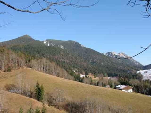
Diese südseitige Tour eignet sich sehr gut für den Spätherbst, da bei geringen Schneefällen wie es heuer der Fall ist die Wege sehr schnell wieder frei sind. Los geht's in Weisbach an der Alpenstraße. Beim Abzweig der Straße zum Jochberg beginnt bei einen kleinen Parkplatz die Tour. Auf einer nicht zu steilen Schotterstraße welche nach ca. 300m links von der Jochbergstraße abzweigt biken wir zum Parkplatz Jochberg. Hier folgen wir der Beschilderung Zwieselalm. Bei einer Höhe von 1050m zweigt der Wanderweg zum Zwiesel ab. Die Wanderung ist nicht schwierig. Mit dem Bike müssen ca. 500hm, zu Fuß ca. 700hm zurückgelegt werden.
Further information at
http://www.sigisfunwelt.degaléria trás
Mapa trasy a výškový profil
Minimum height 503 m
Maximum height 1769 m
More about the tour author

|
sigi mitteregger |
komentáre

GPS trasy
Trackpoints-
GPX / Garmin Map Source (gpx) download
-
TCX / Garmin Training Center® (tcx) download
-
CRS / Garmin Training Center® (crs) download
-
Google Earth (kml) download
-
G7ToWin (g7t) download
-
TTQV (trk) download
-
Overlay (ovl) download
-
Fugawi (txt) download
-
Kompass (DAV) Track (tk) download
-
list trasy (pdf) download
-
Original file of the author (g7t) download
More about the tour author
|
|
sigi mitteregger |
Add to my favorites
Remove from my favorites
Edit tags
Open track
My score
Rate