


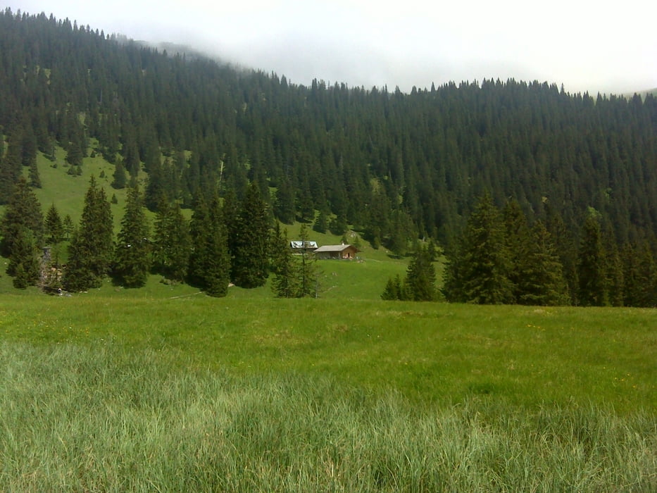
Die Enningalm ist das einzige Ziel, dass ich jedes Jahr immer wieder ansteuern muss. Die Auffahrt ist wunderschön, konditionell anspruchsvoll und immer auf schönen Schotterwegen.
Hinter Farchant habe ich einen Fehler gemacht und musste gut 15 Min den Berg auf schieben und tragen. Etwas später rechts ab und alles ist fahrbar.
Nach der Enningalm kommt der brühmte Singletrail mit vielen engen Kehren. Wer hier den Fuß nicht mindestens ein Mal aufsetzt, der kann sich wirklich als Semiprofi MTBler bezeichnen. Aber Spaß machts.
Diesmal bin ich nicht weiter in Richtung Ettal, sondern runter in Richtung B2 und dann immer an der Loisach lang. Achtung, die Brücke über die Loisach, die in einer anderen Tour hier auf gps-tour benutzt wird, existiert nicht mehr.
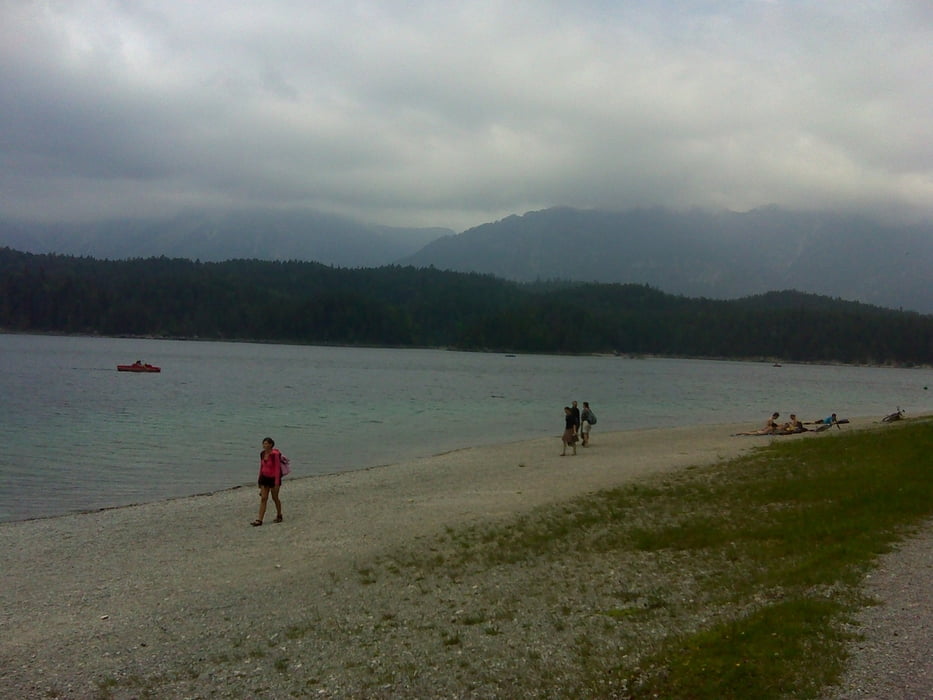
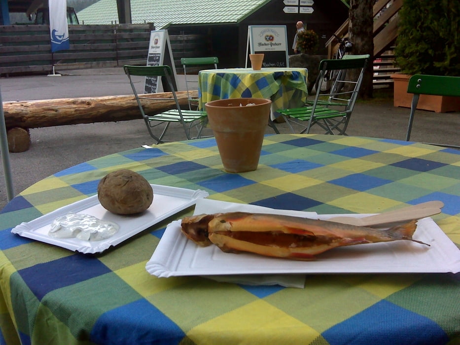
Nun hoch zum Eibsee, einmal rum, kurzer Stopp zum Saibling Essen und dann über Garmisch und Eschenlohe zurück zum Staffelsee.
In Summer eine landschaftlich wirklich schöne Tour für Konditionsstarke Biker. Bisher meine längste Mountainbiketour und die 100km sind wirklich max.
galéria trás
Mapa trasy a výškový profil
Minimum height 624 m
Maximum height 1555 m
More about the tour author

|
bathens |
komentáre

Start wie immer am Parkplatz beim Murnauer Strandbad direkt am Staffelsee.
Von der A95 kommend Ausfahrt Sindelsdorf oder Murnau, dann immer in Richtung Murnau und dann runter zum Staffelsee. Dort auf einem der Parkplätze parken.
GPS trasy
Trackpoints-
GPX / Garmin Map Source (gpx) download
-
TCX / Garmin Training Center® (tcx) download
-
CRS / Garmin Training Center® (crs) download
-
Google Earth (kml) download
-
G7ToWin (g7t) download
-
TTQV (trk) download
-
Overlay (ovl) download
-
Fugawi (txt) download
-
Kompass (DAV) Track (tk) download
-
list trasy (pdf) download
-
Original file of the author (gpx) download
More about the tour author
|
|
bathens |
Add to my favorites
Remove from my favorites
Edit tags
Open track
My score
Rate