


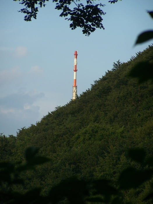
Diese Rundwanderung verbindet tolle Landschaft mit teilweise einsamen und wenig begangenen Wegen bei Heubach.
Das Gebiet um Heubach ist ideal um sich zu bewegen. Wandern, Biken etc. Wer etwas tun wil kann es hier auf jeden Fall.
Die Teufelsklinge ist ein Hungerbrunnen auf der Nordseite der Schwäbischen Alb. Im Sommer fließt nur ein kleines Rinnsal aus der Höhle. Im Winter konnte man an dem gefrorenen Wasserfall auch schon mal das Eisbeil schwingen. Und wenn die Teufelsklinge zur Schneeschmelze "schießt" ist was los. Ich bin jedenfalls Fan der Teufelsklinge.
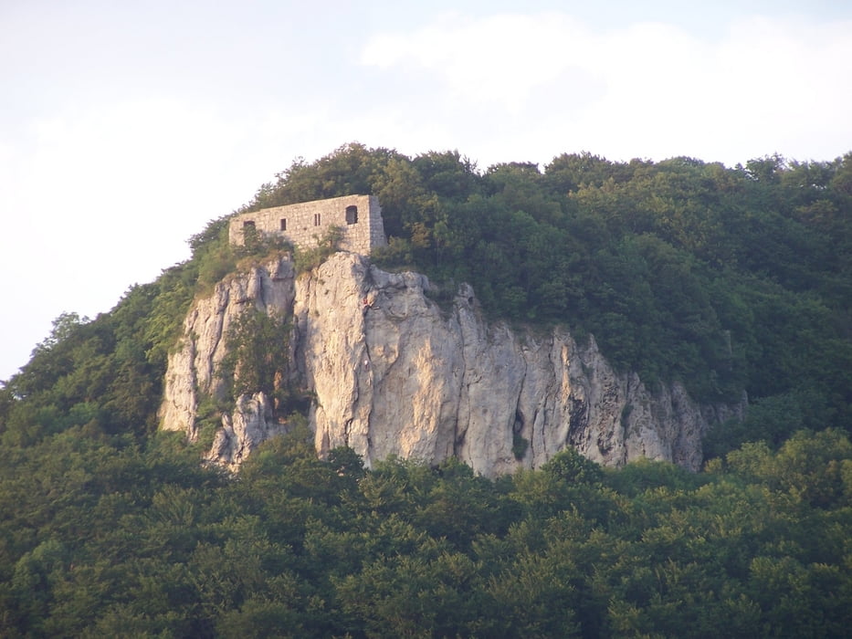
Der restliche Weg über den Stock zum wenig besuchten Hochberg mit seiner, leider nicht mehr sichtbaren, Keltensiedlung ist landschaftlich schön und nach einem Regenguss erholsam.
Im unteren Teil des Hochbergs bitte nicht den Abzweig in die Büsche verpassen. Der Wanderweg duch die grüne Hölle ist super.
Viel Spass
P.S. Und öfter mal heubächern.
Further information at
http://www.heubacher.de/index.php?option=com_frontpage&Itemid=1galéria trás


Mapa trasy a výškový profil
Minimum height 472 m
Maximum height 762 m
More about the tour author
|
|
Pheinz |
komentáre
Parkplatz am Zusammenfluss von Tumbach und des Beurener Baches.
GPS trasy
Trackpoints-
GPX / Garmin Map Source (gpx) download
-
TCX / Garmin Training Center® (tcx) download
-
CRS / Garmin Training Center® (crs) download
-
Google Earth (kml) download
-
G7ToWin (g7t) download
-
TTQV (trk) download
-
Overlay (ovl) download
-
Fugawi (txt) download
-
Kompass (DAV) Track (tk) download
-
list trasy (pdf) download
-
Original file of the author (gpx) download
More about the tour author
|
|
Pheinz |
Add to my favorites
Remove from my favorites
Edit tags
Open track
My score
Rate
Schöne Runde...