Login

Zabudli ste prihlasovacia meno

Cookies have to be accepted!
Your browser's cookie functionality is disabled. Please enable this functionality.

Not a member yet?

Register now
Login

Available for registred users only

Log in to use this feature.

Zabudli ste prihlasovacia meno

Cookies have to be accepted!
Your browser's cookie functionality is disabled. Please enable this functionality.

Not a member yet?

Register now
Filter
Kategórie
Advanced filters
  • Dĺžka (km)
  • výškomer
Uložiť filter Reset filter

TrackRank

QRCode

Technical data

Dĺžka59,5 km výškomer1606 m Way down1603 m Doba05:00 h:m dátum26.07.2010
ohodnotenia Author User Kraj pôžitok z túry kondícia technika

štatistika

1466 náhľady 1 ohodnotenie 183 Stiahnutia 5.00 priemer
Rate
  • list trasy
  • príjazd
  • Stiahnutia

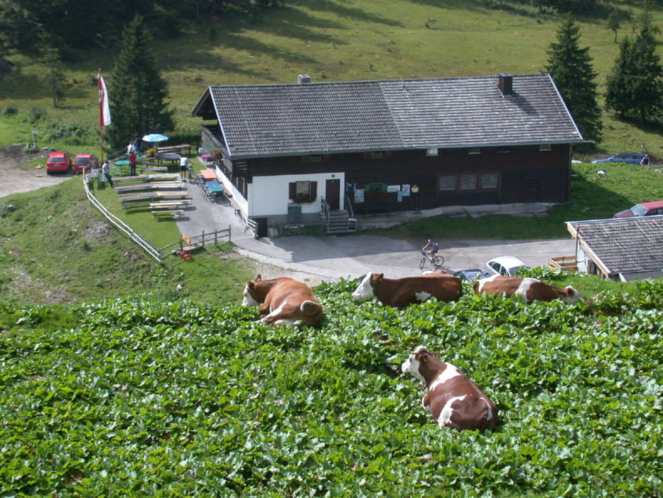
Die sogenannte SCHIRMER-RUNDE. Eine weitere Runde durch das Spitzingseegebiet. Zeichnet sich durch gute Fahrbarkeit auf Forststrassen aus, keine trails, die man aber dazu kombinieren kann. Spaß macht die Abfahrt vom Spitzingsattel Richtung Ausgangspunkt auf der Teerstraße. Am Startpunkt im Lokal neben dam Cafe Donnerstags wird ab 17:30 gegrillt...

Mapa trasy a výškový profil

  • Open Street Map
  • Google
Minimum height 762 m Maximum height 1344 m Detailný pohľad

More about the tour author

Ruinenpeter
Member since 2008

Send private message

komentáre

A8 München Salzburg

Ausfahrt Weyarn weiter Richtung Schliersee

Nach Schliersee in der Ortschaft Neuhaus Nähe Cafe Stickel parken

GPS trasy

Trackpoints
  • GPX / Garmin Map Source (gpx) download
  • TCX / Garmin Training Center® (tcx) download
  • CRS / Garmin Training Center® (crs) download
  • Google Earth (kml) download
  • G7ToWin (g7t) download
  • TTQV (trk) download
  • Overlay (ovl) download
  • Fugawi (txt) download
  • Kompass (DAV) Track (tk) download
  • list trasy (pdf) download
  • Original file of the author (gpx) download

More about the tour author

Ruinenpeter
Member since 2008

Send private message
Share track
Add to my favorites
Remove from my favorites
Edit tags
My score
Rate
trasa: Spitzing Valepp Ackernalm Elendssattel Valepp
Druh: horský bicykel
Dĺžka: 59,5 km
Evaluated on:
Doba:
Day(s)
Hour(s)
Minute(s)
ohodnotenie: Kraj pôžitok z túry kondícia technika