


Start in Oberkirch an der Bäckerei Geldreich.
Von Oberkirch am Renchdamm entlang nach Müllen und weiter nach Stadelhofen.Dort links Richtung Zusenhofen und weiter bis nach Herztal.In Herztal abbiegen Richtung Nesselried.Anschließend nach Appenweier.Auf dem Radweg weiter Richtung Urloffen und Erlach.In Erlach wieder auf den Renchdamm auf der anderen Seite der Rench bis nach Oberkirch zum Ausgangspunkt der Tour.
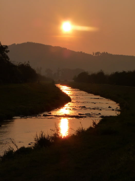
Viel Spass beim Nachfahren !!!
Further information at
http://oberkirch.degaléria trás


Mapa trasy a výškový profil
Minimum height 143 m
Maximum height 213 m
More about the tour author
|
|
ambaibiker |
komentáre

Start in Oberkirch im Renchtal
GPS trasy
Trackpoints-
GPX / Garmin Map Source (gpx) download
-
TCX / Garmin Training Center® (tcx) download
-
CRS / Garmin Training Center® (crs) download
-
Google Earth (kml) download
-
G7ToWin (g7t) download
-
TTQV (trk) download
-
Overlay (ovl) download
-
Fugawi (txt) download
-
Kompass (DAV) Track (tk) download
-
list trasy (pdf) download
-
Original file of the author (gpx) download
More about the tour author
|
|
ambaibiker |
Add to my favorites
Remove from my favorites
Edit tags
Open track
My score
Rate