
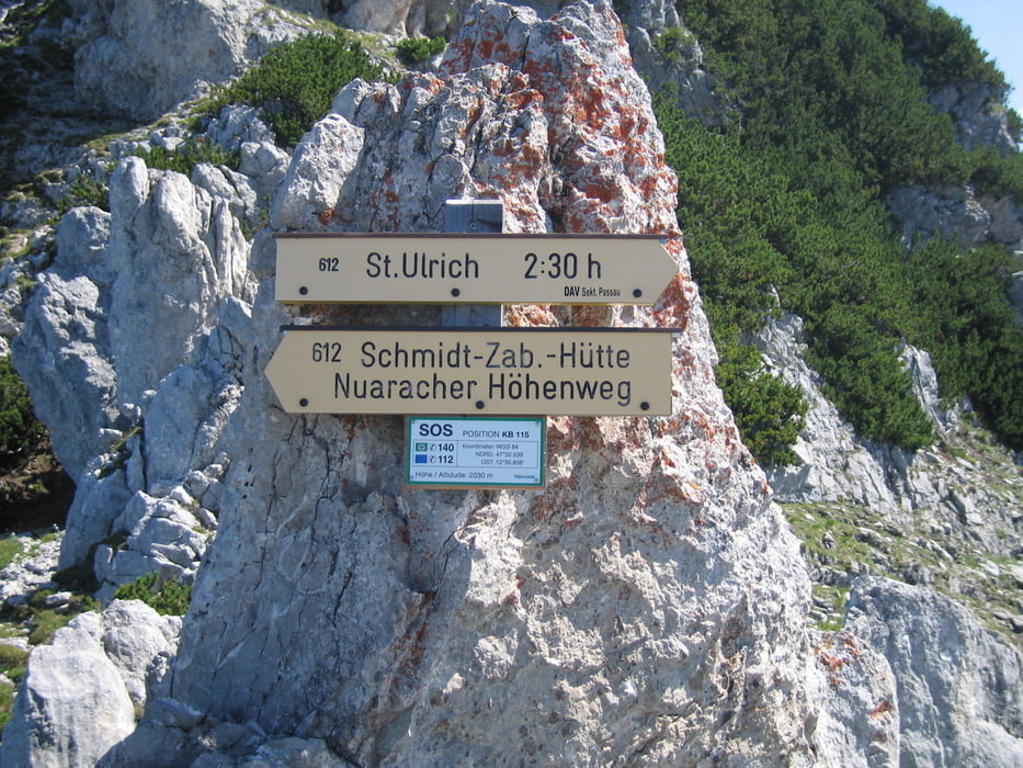

Hier nun eine Version der Nuaracher Höhenwegs von St. Ulrich aus.
Aufgrund der Wettervorhersage wurde ner Nackerte Hund incl. Klettersteig absichtlich ausgelassen, was uns später doch sehr gewurmt hat, da das Wetter durchwegs gehalten hat.
Von St. Ulrich aus ca. 10h Gehzeit und aufgrund der Kraxelei nur für geübte geher zu empfehlen, Klettersteiggeschirr ist jedoch nicht unbedingt notwendig. Wichtig allerdings genug zu Trinken mitnehmen, da auf der gesamten Strecke keine Möglichkeit besteht die Flasche nachzufüllen!
Die Schmidt Zabierow Hütte ist wunderschön gelegen mit guter Aussicht nach Lofer, hervorragendem Essen und sehr freundlichen Belegschaft.
Der Abstieg über die Schmid Zabierow Hütte nach Lofer ist mit ca. 3 1/2 Std. eher gemütlich. An Schultagen besteht von Lofer aus eine recht gute Busverbindung zurück nach St. Ulrich.
galéria trás


Mapa trasy a výškový profil
Minimum height 696 m
Maximum height 2474 m
More about the tour author
|
|
Gastroprofi |
komentáre

GPS trasy
Trackpoints-
GPX / Garmin Map Source (gpx) download
-
TCX / Garmin Training Center® (tcx) download
-
CRS / Garmin Training Center® (crs) download
-
Google Earth (kml) download
-
G7ToWin (g7t) download
-
TTQV (trk) download
-
Overlay (ovl) download
-
Fugawi (txt) download
-
Kompass (DAV) Track (tk) download
-
list trasy (pdf) download
-
Original file of the author (gpx) download
More about the tour author
|
|
Gastroprofi |
Add to my favorites
Remove from my favorites
Edit tags
Open track
My score
Rate