Login

Zabudli ste prihlasovacia meno

Cookies have to be accepted!
Your browser's cookie functionality is disabled. Please enable this functionality.

Not a member yet?

Register now
Login

Available for registred users only

Log in to use this feature.

Zabudli ste prihlasovacia meno

Cookies have to be accepted!
Your browser's cookie functionality is disabled. Please enable this functionality.

Not a member yet?

Register now
Filter
Kategórie
Advanced filters
  • Dĺžka (km)
  • výškomer
Uložiť filter Reset filter

TrackRank

QRCode

Technical data

Dĺžka66,3 km výškomer939 m Way down2367 m Doba04:00 h:m dátum29.07.2010
ohodnotenia Author Kraj pôžitok z túry kondícia technika

štatistika

583 náhľady ohodnotenia 69 Stiahnutia priemer
Rate
  • list trasy
  • príjazd
  • Stiahnutia


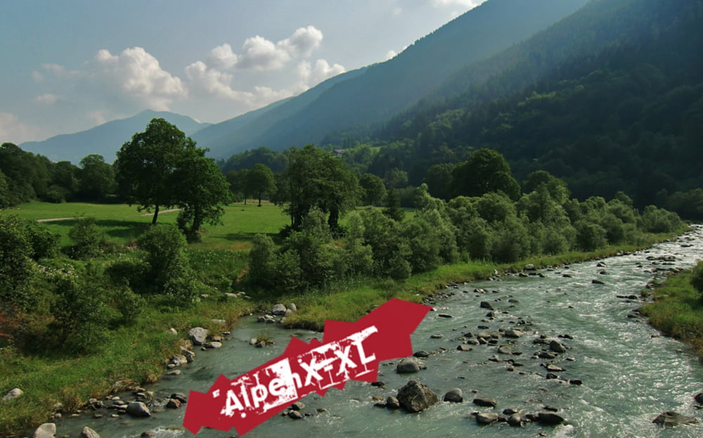
Mein heutiges Ziel ist, nachmittags um 14:00 Uhr am Lago am Strand zu liegen und die Sonne zu genießen. Um das zu schaffen, wähle ich einen absoluten Chickenway nach Torbole. Keine Berge...

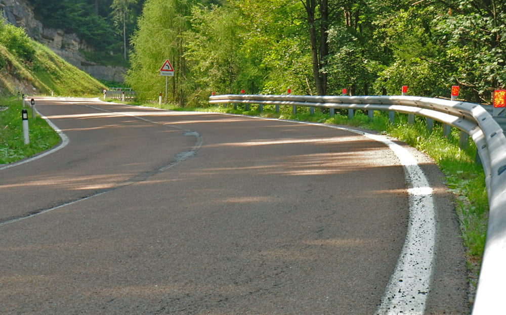
Es geht von M.d.C. aus 30 km bergab. Der Pass Duron ist dann der einzige nennenswerte Anstieg des heutigen Tages, und der ist nach einer Stunde erledigt.

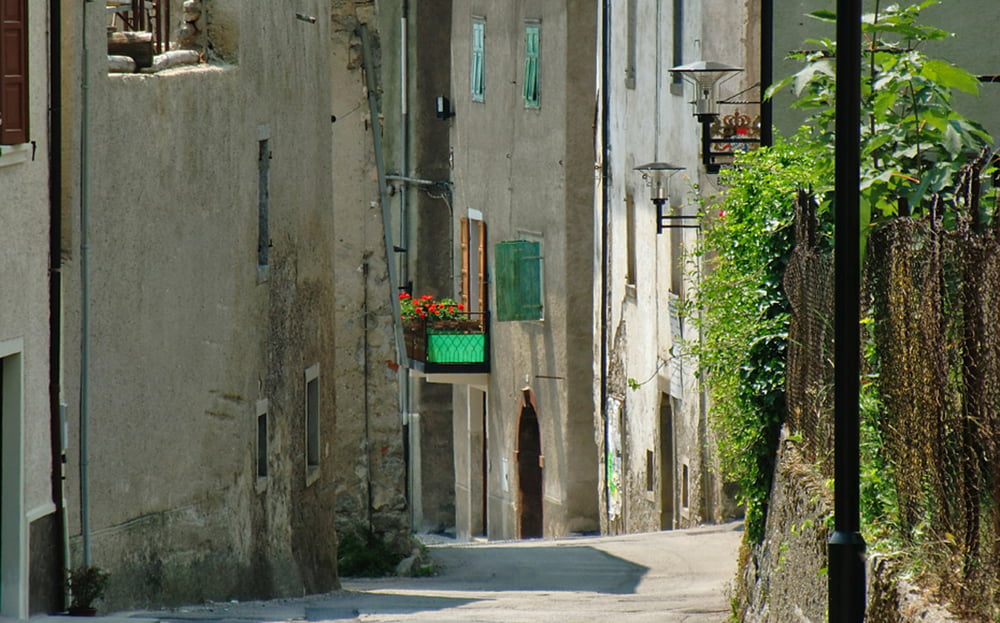
Anschließend durchfahre ich kleine italienische Dörfer, Cavione, Cavrasto und Ballino.

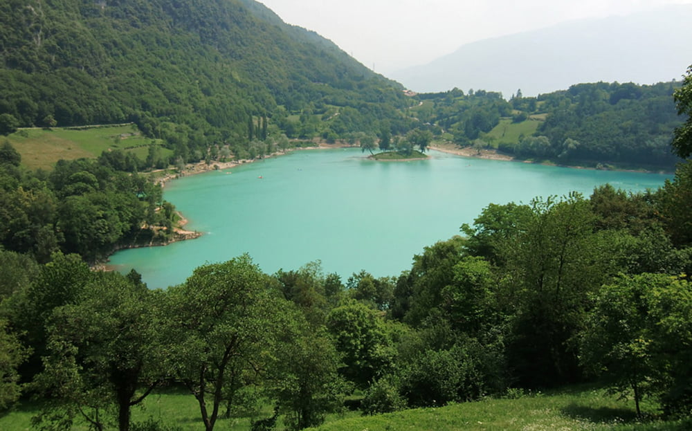
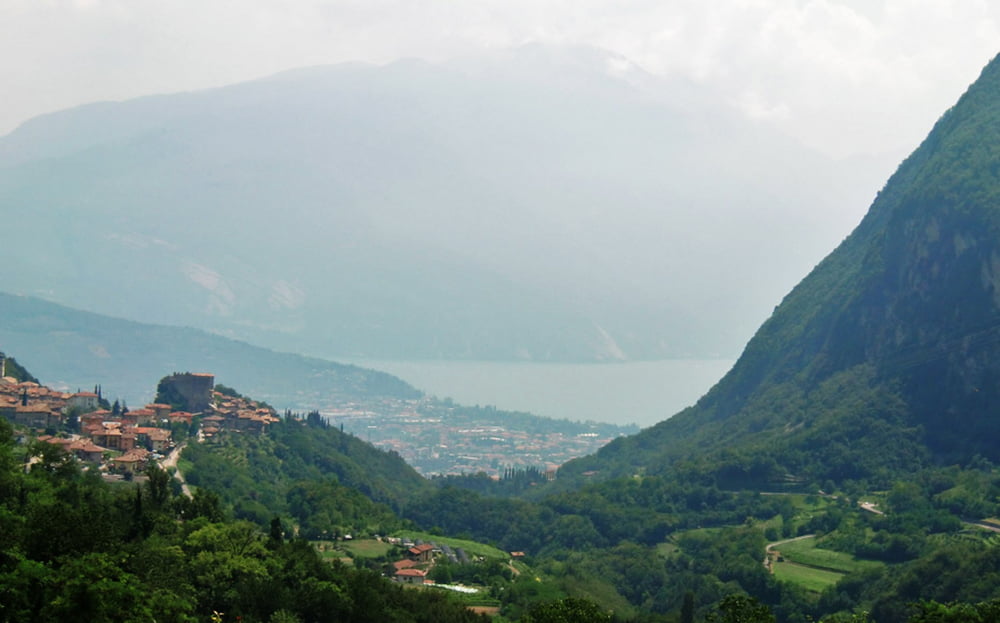
Am Lago di Tenno vorbei, ist sehr bald der Gardasse zu sehen. Mir pressiert es überhaupt nicht, im Gegenteil, es geht ständig bergab, aber ich fahre langsam und genieße die letzten Kilometer.

Am Nachmittag bin ich am Lago-Strand. Genau das wollte ich...

Auf meiner Internetseite gibt es einen Tourbericht und viele Fotos...viel Spaß beim klicken...
Der link steht unten...

Further information at

http://www.alpenx-xl.de/2010/10_ax06/10ax06.php

galéria trás

Mapa trasy a výškový profil

  • Open Street Map
  • Google
Minimum height 66 m Maximum height 1494 m Detailný pohľad

More about the tour author

AlpenX-XL.de
Member since 2007

Send private message

komentáre

GPS trasy

Trackpoints
  • GPX / Garmin Map Source (gpx) download
  • TCX / Garmin Training Center® (tcx) download
  • CRS / Garmin Training Center® (crs) download
  • Google Earth (kml) download
  • G7ToWin (g7t) download
  • TTQV (trk) download
  • Overlay (ovl) download
  • Fugawi (txt) download
  • Kompass (DAV) Track (tk) download
  • list trasy (pdf) download
  • Original file of the author (gpx) download

More about the tour author

AlpenX-XL.de
Member since 2007

Send private message
Share track
Add to my favorites
Remove from my favorites
Edit tags
My score
Rate
trasa: Alpencross / AlpenX 2010 Madonna di C. - Pinzolo - Passo Duron - Tenno - Torbole
Druh: horský bicykel
Dĺžka: 66,3 km
Evaluated on:
Doba:
Day(s)
Hour(s)
Minute(s)
ohodnotenie: Kraj pôžitok z túry kondícia technika