Login

Zabudli ste prihlasovacia meno

Cookies have to be accepted!
Your browser's cookie functionality is disabled. Please enable this functionality.

Not a member yet?

Register now
Login

Available for registred users only

Log in to use this feature.

Zabudli ste prihlasovacia meno

Cookies have to be accepted!
Your browser's cookie functionality is disabled. Please enable this functionality.

Not a member yet?

Register now
Filter
Kategórie
Advanced filters
  • Dĺžka (km)
  • výškomer
Uložiť filter Reset filter

TrackRank

QRCode

Technical data

Dĺžka10,8 km výškomer100 m Way down78 m Doba01:30 h:m dátum30.07.2010
ohodnotenia Author User Kraj pôžitok z túry kondícia technika

štatistika

262 náhľady 1 ohodnotenie 32 Stiahnutia 4.00 priemer
Rate
  • list trasy
  • príjazd
  • Stiahnutia

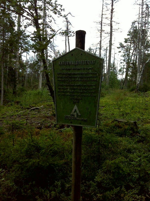
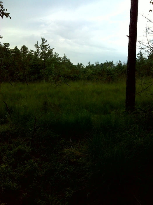
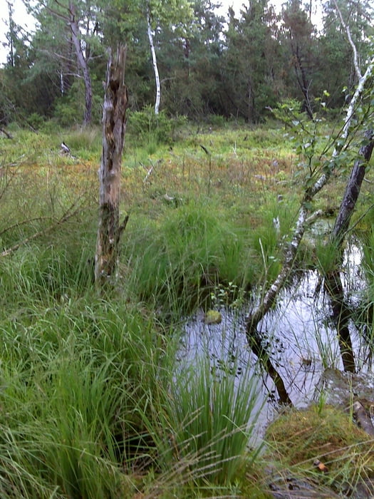
rund durch die murnerfilze teilweise sehr naß und abenteuerlich es ist auch eine kleine bach überquerung dabei viel spaß

galéria trás

Mapa trasy a výškový profil

  • Open Street Map
  • Google
Minimum height 399 m Maximum height 496 m Detailný pohľad

More about the tour author

pamala
Member since 2010

Send private message

komentáre

Sandworm8 on 31.03.2011

Track editieren

Hallo pamala,

könntest du evtl. deinen GPX-Track so editieren, dass die Ausreisser nach Wasserburg entfernt werden. Die haben ja nichts mit deiner Tour zu tun und verwirren nur.

Vielen Dank!


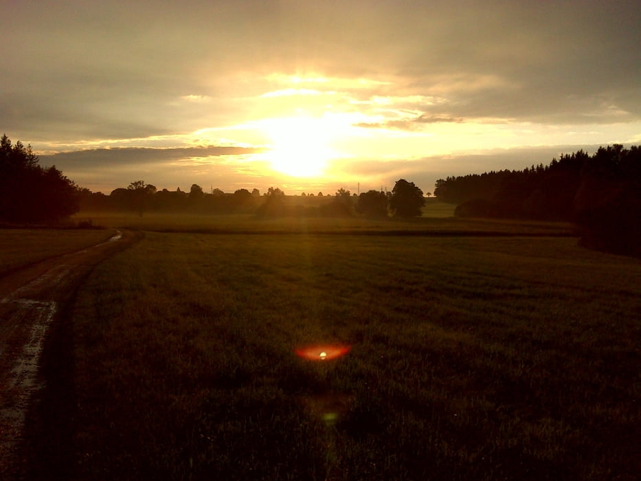
von wasserburg nach eiselfing dann weiter zum beginn der tour


GPS trasy

Trackpoints
  • GPX / Garmin Map Source (gpx) download
  • TCX / Garmin Training Center® (tcx) download
  • CRS / Garmin Training Center® (crs) download
  • Google Earth (kml) download
  • G7ToWin (g7t) download
  • TTQV (trk) download
  • Overlay (ovl) download
  • Fugawi (txt) download
  • Kompass (DAV) Track (tk) download
  • list trasy (pdf) download
  • Original file of the author (gpx) download

More about the tour author

pamala
Member since 2010

Send private message
Share track
Add to my favorites
Remove from my favorites
Edit tags
My score
Rate
trasa: murnerfilze
Druh: trasa
Dĺžka: 10,8 km
Evaluated on:
Doba:
Day(s)
Hour(s)
Minute(s)
ohodnotenie: Kraj pôžitok z túry kondícia technika