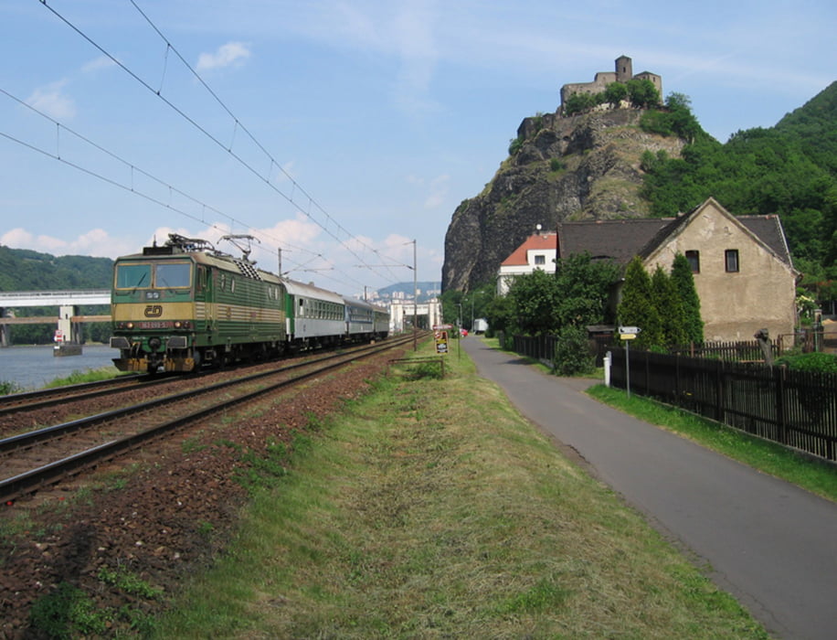
Von Litomerice in Tchechien aus sind wir an der Elbe entlang flussabwärts bis Schilka gefahren. Die Strecke führt über Usti nad Labem und Decin durch die böhmische und sächsische Schweiz. Bis auf wenige kurze steile Anstiege verläuft die Strecke flach über fast immer asphaltierte Straßen.
In Decin ist ein Abstecher zum Schloß hoch über der Elbe mit der Zufahrt über den sog. langen Ritt lohnenswert. Da wir auf das Übersetzen per Fähre in Schilka verzichtet haben, ist ein kleiner Umweg über Bad Schandau hinzugekommen.
Ein Teil der Strecke führt an der Bahnlinie entlang, auf der z.T. recht skurile Fahrzeuge unterwegs sind.
Further information at
http://www.elberadweg.cz/7strecke.htmgaléria trás
Mapa trasy a výškový profil
komentáre

Die Anfahrt erfolgt mit Hilfe einer Regionalbahn, die am Wochenende samstags und sonntags einmal täglich von Dresden Hbf durchgehend bis Litomerice fährt.
Von Schmilka oder Bad Schandau ist die Rückfahrt nach Dresden per S-Bahn kein Problem.
GPS trasy
Trackpoints-
GPX / Garmin Map Source (gpx) download
-
TCX / Garmin Training Center® (tcx) download
-
CRS / Garmin Training Center® (crs) download
-
Google Earth (kml) download
-
G7ToWin (g7t) download
-
TTQV (trk) download
-
Overlay (ovl) download
-
Fugawi (txt) download
-
Kompass (DAV) Track (tk) download
-
list trasy (pdf) download
-
Original file of the author (gpx) download


