


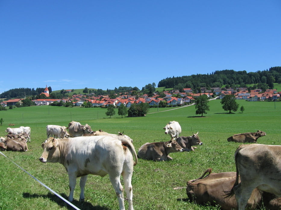
Nette Tour durch das hügelige Allgäu mit schönen Ausblicken in die Alpen. Der Weg verläuft meistens auf verkehrsarmen Nebenstraßen und Radwege.
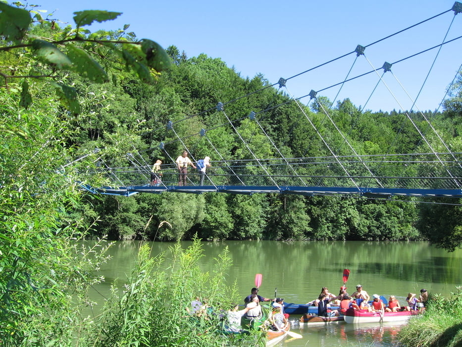
Wegbeschaffenheit: 95% auf Teerstraßen; den Rest auf Schotter und Feldwegen. Nach der Hängebrücke muss das Rad ein kurzes Stück den steilen Hang hinauf geschoben werden.(Treppen)
Wegbeschreibung: Kempten (Rottacherstraße) - Neuhausen - Heiligkreuz - Leinschmenden - Frühstetten - Weihers - Altusried - Hörgers - Sachsenried - Reicholzried - Dietmannsried - Überbach - Haldenwang - Ottisried - Leubas - Schatten - Hochstraß - Dolders - Kempten (Rottacherstraße).
Further information at
http://de.wikipedia.org/wiki/kemptengaléria trás

Mapa trasy a výškový profil
Minimum height 633 m
Maximum height 753 m
More about the tour author
|
|
W-C |
komentáre

Parkplatz und Start in Kempten; Rottacherstraße; Nähe vom Illerstadion. (gebührenfrei)
Parkplatz - Koordinaten für dein Navigationsgerät
N 47° 43. 846´
E 10° 18. 946´
GPS trasy
Trackpoints-
GPX / Garmin Map Source (gpx) download
-
TCX / Garmin Training Center® (tcx) download
-
CRS / Garmin Training Center® (crs) download
-
Google Earth (kml) download
-
G7ToWin (g7t) download
-
TTQV (trk) download
-
Overlay (ovl) download
-
Fugawi (txt) download
-
Kompass (DAV) Track (tk) download
-
list trasy (pdf) download
-
Original file of the author (gpx) download
More about the tour author
|
|
W-C |
Add to my favorites
Remove from my favorites
Edit tags
Open track
My score
Rate