Login

Zabudli ste prihlasovacia meno

Cookies have to be accepted!
Your browser's cookie functionality is disabled. Please enable this functionality.

Not a member yet?

Register now
Login

Available for registred users only

Log in to use this feature.

Zabudli ste prihlasovacia meno

Cookies have to be accepted!
Your browser's cookie functionality is disabled. Please enable this functionality.

Not a member yet?

Register now
Filter
Kategórie
Advanced filters
  • Dĺžka (km)
  • výškomer
Uložiť filter Reset filter

TrackRank

QRCode

Technical data

Dĺžka84,3 km výškomer907 m Way down754 m Doba05:00 h:m dátum07.08.2010
ohodnotenia Author User Kraj pôžitok z túry kondícia technika

štatistika

459 náhľady 1 ohodnotenie 34 Stiahnutia 4.00 priemer
Rate
  • list trasy
  • príjazd
  • Stiahnutia

Von Bamberg nach Lauf duchs Eller-, Leinleiter-, Wiesent- und Trubachtal. Von Laibarös nach Oberleinleiter und von Egloffstein nach Thuisbrunn auf gut zu fahrenden Wanderwegen. Der Anstieg vom Ellertal nach Laibarös erfolgt auf gut zu fahrenden Serpentinenstrasse.

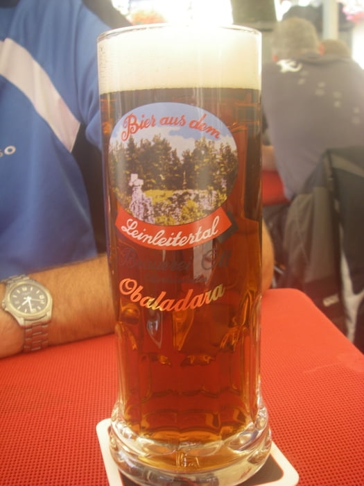
Genügend Zeit einplanen für die zahlreichen Brauereigaststätten unterwegs.

galéria trás

Mapa trasy a výškový profil

  • Open Street Map
  • Google
Minimum height 200 m Maximum height 553 m Detailný pohľad

More about the tour author

radrige
Member since 2008

Send private message

komentáre

Bahnhöfe in Bamberg und Lauf mit sehr guter Anbindung.

GPS trasy

Trackpoints
  • GPX / Garmin Map Source (gpx) download
  • TCX / Garmin Training Center® (tcx) download
  • CRS / Garmin Training Center® (crs) download
  • Google Earth (kml) download
  • G7ToWin (g7t) download
  • TTQV (trk) download
  • Overlay (ovl) download
  • Fugawi (txt) download
  • Kompass (DAV) Track (tk) download
  • list trasy (pdf) download
  • Original file of the author (gpx) download

More about the tour author

radrige
Member since 2008

Send private message
Share track
Add to my favorites
Remove from my favorites
Edit tags
My score
Rate
trasa: Von Bamberg nach Lauf
Druh: trekingové bicykle
Dĺžka: 84,3 km
Evaluated on:
Doba:
Day(s)
Hour(s)
Minute(s)
ohodnotenie: Kraj pôžitok z túry kondícia technika