
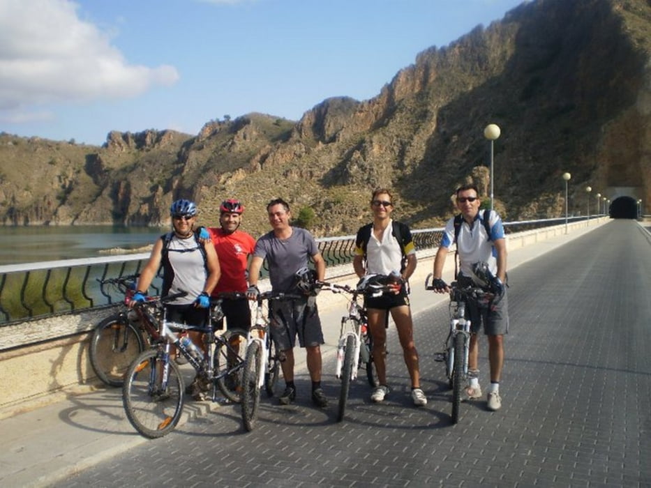

Ruta que parte de Calasparra y va hasta la presa del pantano del Cenajo, casi todo por caminos para evitar el asfalto. La vuelta se hace siguiendo el cauce del rio Segura, para después retirarse un poco del mismo llegando hasta El Salmerón. Desde ahí la vuelta se hace descendiendo de nuevo por la margen del rio Segura hasta la zona de la estación, para después cruzar el río por la pasarela y entrar al pueblo por el camino del Olivarejo.
galéria trás


Mapa trasy a výškový profil
Minimum height 317 m
Maximum height 548 m
More about the tour author

|
agustincb |
komentáre

GPS trasy
Trackpoints-
GPX / Garmin Map Source (gpx) download
-
TCX / Garmin Training Center® (tcx) download
-
CRS / Garmin Training Center® (crs) download
-
Google Earth (kml) download
-
G7ToWin (g7t) download
-
TTQV (trk) download
-
Overlay (ovl) download
-
Fugawi (txt) download
-
Kompass (DAV) Track (tk) download
-
list trasy (pdf) download
-
Original file of the author (gpx) download
More about the tour author
|
|
agustincb |
Add to my favorites
Remove from my favorites
Edit tags
Open track
My score
Rate