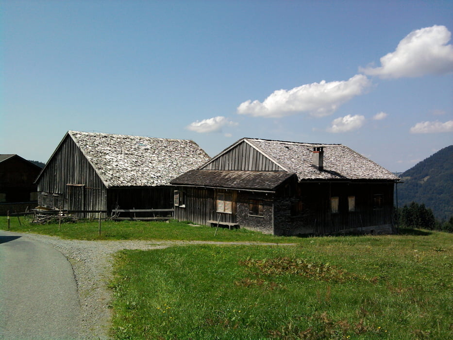
Diese nette Rundwanderung beginnt am Wanderparkplatz Schetteregg.
Der anfänglich steile Teerweg geht zur Brongenalpe über die Ochsenhofalpe in das Alpgebiet der Falzalpen und wandert danach zu den schön gelegenen Vorsäßsiedlungen von Eggatsberg und Hammeratsberg.
Von dort ist es nicht mehr weit zum Ausgangspunkt Schetteregg.
galéria trás
Mapa trasy a výškový profil
Minimum height 1074 m
Maximum height 1292 m
komentáre

GPS trasy
Trackpoints-
GPX / Garmin Map Source (gpx) download
-
TCX / Garmin Training Center® (tcx) download
-
CRS / Garmin Training Center® (crs) download
-
Google Earth (kml) download
-
G7ToWin (g7t) download
-
TTQV (trk) download
-
Overlay (ovl) download
-
Fugawi (txt) download
-
Kompass (DAV) Track (tk) download
-
list trasy (pdf) download
-
Original file of the author (gpx) download
Add to my favorites
Remove from my favorites
Edit tags
Open track
My score
Rate


