
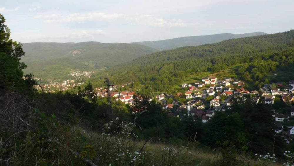

Beschreibung: Treffpunkt Weisenbach Brücke. Wir radeln flussabwärts bis nach Obertsrot. In Oberstrot biegen wir links vor der Kirche ab und radeln am Schwimmbad Obertsrot Richtung Antoniuskapelle (steilster Abschnitt der Tour) Vorbei an den Obstwiesen geht es leicht bergauf Richtung Weinberg Schloss Eberstein. Am Schloss folgen wir für wenige Meter der Fahrstrasse Richtung Gernsbach und biegen anschliessend links auf einen kleinen Single Trail ab. Der Trail zieht sich am Bergrand hinüber zu den Walheimer Höfen und zum Gasthof Nachtigall. Hinter dem Gasthof folgen wir dem Waldweg (Tennisplatz) zum Weise Stein (Naturfreundehaus Staufenberg) und nach Neuhäusel. Nach einem erfrischenden Weizen im Biergarten vom Gasthof Jockers
Further information at
http://www.feelaction.deMapa trasy a výškový profil
Minimum height 127 m
Maximum height 362 m
More about the tour author
|
|
uklumpp |
komentáre

GPS trasy
Trackpoints-
GPX / Garmin Map Source (gpx) download
-
TCX / Garmin Training Center® (tcx) download
-
CRS / Garmin Training Center® (crs) download
-
Google Earth (kml) download
-
G7ToWin (g7t) download
-
TTQV (trk) download
-
Overlay (ovl) download
-
Fugawi (txt) download
-
Kompass (DAV) Track (tk) download
-
list trasy (pdf) download
-
Original file of the author (gpx) download
More about the tour author
|
|
uklumpp |
Add to my favorites
Remove from my favorites
Edit tags
Open track
My score
Rate