5. August 2010
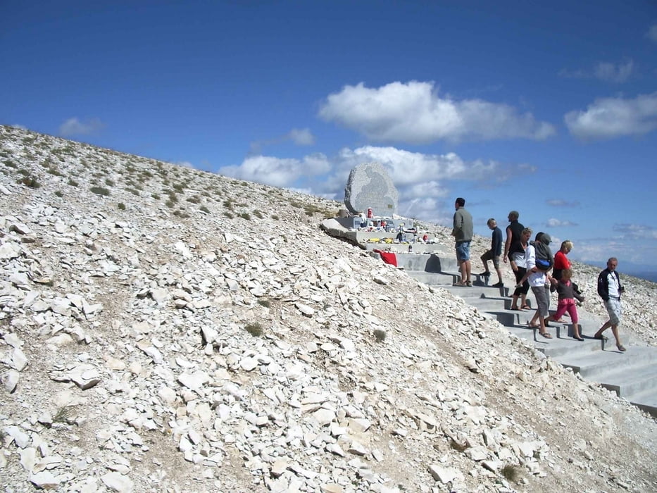
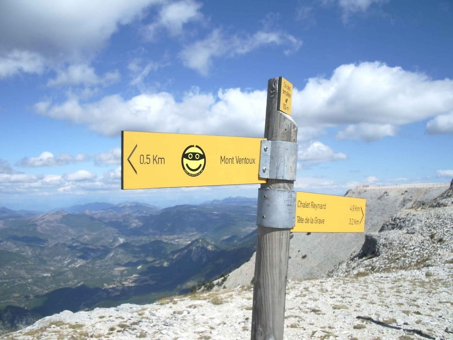
Tour vom Campingplatz La Couteliere durch schöne Dörfer und Städtchen der Provence zum Ventoux, der an diesem Tag seinem Namen alle Ehre machte. Die Windböen haben ab dem Chalet Reynard die Fahrt zu einem kleinen Abenteuer werden lassen. Zudem sorgte eine minimale Temperatur von 12°C für eine entsprechende Frische.
galéria trás
Mapa trasy a výškový profil
Minimum height 59 m
Maximum height 1899 m
komentáre

GPS trasy
Trackpoints-
GPX / Garmin Map Source (gpx) download
-
TCX / Garmin Training Center® (tcx) download
-
CRS / Garmin Training Center® (crs) download
-
Google Earth (kml) download
-
G7ToWin (g7t) download
-
TTQV (trk) download
-
Overlay (ovl) download
-
Fugawi (txt) download
-
Kompass (DAV) Track (tk) download
-
list trasy (pdf) download
-
Original file of the author (gpx) download
Add to my favorites
Remove from my favorites
Edit tags
Open track
My score
Rate


