

Eine wirklich sehr schöne Tour entlang des Bodensees.
Optimal auch für ungeübte Radfahrer, da eigentlich die komplette Strecke eben verläuft.
Landschaftlich jedoch hat die Strecke sehr vieles zu bieten.
Im Sommer ist man allerdings nicht alleine auf diesem Radweg unterwegs daher gilt es ein wenig vorsichtig zu sein.
Viel Spaß bei der Tour!
Mapa trasy a výškový profil
Minimum height 390 m
Maximum height 455 m
More about the tour author

|
MP_Steppenwolf |
komentáre

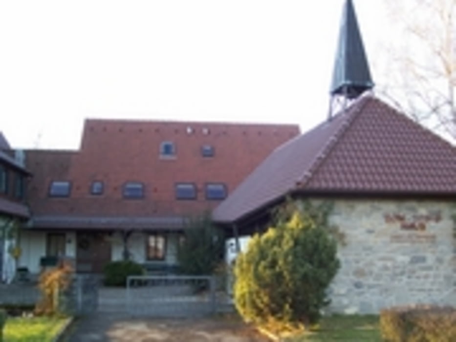
Gestartet wird die Tour am "Don Bosco Haus".
Das "Don Bosco Haus" befindet sich zwischen Friedrichshafen und Eriskirch direkt am Radweg.
Ein idealer Startpunkt für die Tour.
Hier die genaue Adresse für das Navi:
Don Bosco Haus
Rotenmoos 18
88046 Friedrichshafen
http://www.don-bosco-haus.de/
GPS trasy
Trackpoints-
GPX / Garmin Map Source (gpx) download
-
TCX / Garmin Training Center® (tcx) download
-
CRS / Garmin Training Center® (crs) download
-
Google Earth (kml) download
-
G7ToWin (g7t) download
-
TTQV (trk) download
-
Overlay (ovl) download
-
Fugawi (txt) download
-
Kompass (DAV) Track (tk) download
-
list trasy (pdf) download
-
Original file of the author (gpx) download
More about the tour author
|
|
MP_Steppenwolf |
Add to my favorites
Remove from my favorites
Edit tags
Open track
My score
Rate