


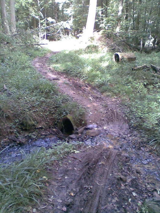
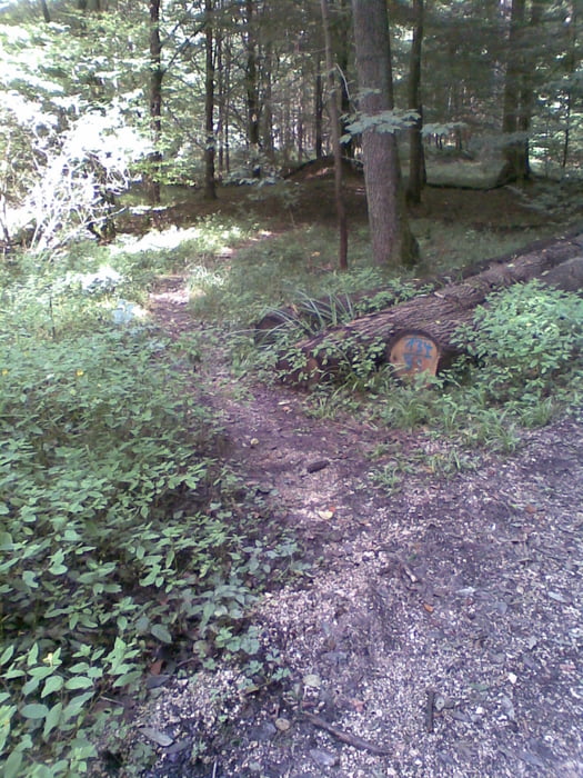
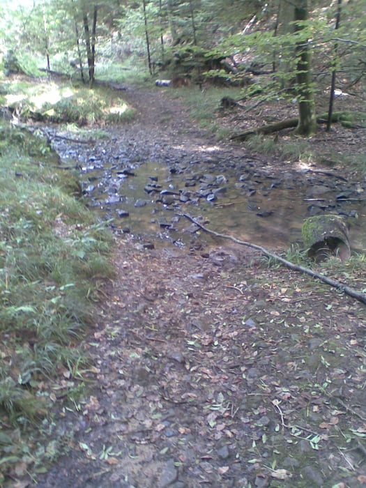
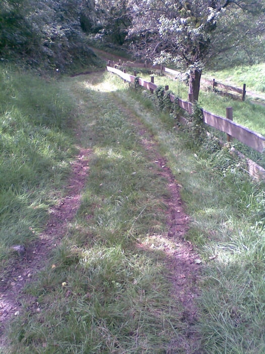
Von der Neuen Kelter in Fellbach aus startet man gemütlich durch Weinberge und Gärten Richtung Rommelshausen nach Stetten. Über Feldwege und kleinen Trails geht es weiter direkt in den Wald auf Schotter- und Waldwege hinauf Richtung Schurwald. Von dort aus geht weiter auf Waldwegen bis man zu einem Singeltrail abwärts nach Baach gelangt. Dieser ist oft nach Regen sehr matschig. Danach geht es fast nur noch bergab und eben durch Weinberge und Gärten zurück an den Ausgangspunkt.
Über einen Kommentar oder Anregungen würde ich mich freuen.
Further information at
http://www.fellbach.degaléria trás
Mapa trasy a výškový profil
Minimum height 245 m
Maximum height 466 m
More about the tour author
|
|
jogotogo |
komentáre

Neue Kelter, Kappelbergstr. 48, 70734 Fellbach
GPS trasy
Trackpoints-
GPX / Garmin Map Source (gpx) download
-
TCX / Garmin Training Center® (tcx) download
-
CRS / Garmin Training Center® (crs) download
-
Google Earth (kml) download
-
G7ToWin (g7t) download
-
TTQV (trk) download
-
Overlay (ovl) download
-
Fugawi (txt) download
-
Kompass (DAV) Track (tk) download
-
list trasy (pdf) download
-
Original file of the author (gpx) download
More about the tour author
|
|
jogotogo |
Add to my favorites
Remove from my favorites
Edit tags
Open track
My score
Rate