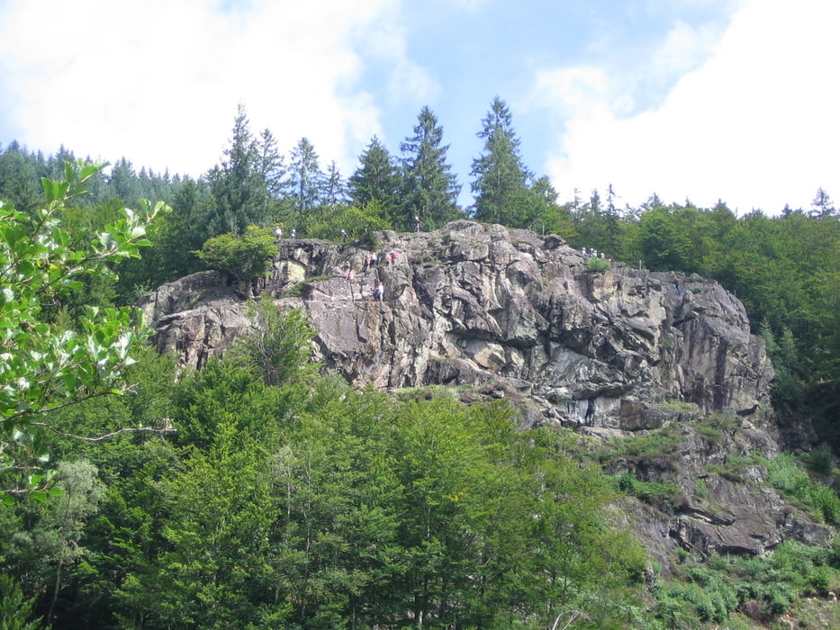
Klettersteig der Kategorie B.
Gut machbar, auch für Kinder.
Man sollte die Sache dennoch nicht unterschätzen und nur gesichert klettern.
Bitte vergesst die Spende für den Verein nicht, der den Steig für uns alle angelegt hat.
Further information at
http://www.via-ferrata.de/img-klettersteig-todtnau-367.htmgaléria trás
Mapa trasy a výškový profil
Minimum height 700 m
Maximum height 800 m
komentáre

In Todtnau hinter dem Freibad geht´s los.
siehe Daten.
GPS trasy
Trackpoints-
GPX / Garmin Map Source (gpx) download
-
TCX / Garmin Training Center® (tcx) download
-
CRS / Garmin Training Center® (crs) download
-
Google Earth (kml) download
-
G7ToWin (g7t) download
-
TTQV (trk) download
-
Overlay (ovl) download
-
Fugawi (txt) download
-
Kompass (DAV) Track (tk) download
-
list trasy (pdf) download
-
Original file of the author (gpx) download
Add to my favorites
Remove from my favorites
Edit tags
Open track
My score
Rate


