Login

Zabudli ste prihlasovacia meno

Cookies have to be accepted!
Your browser's cookie functionality is disabled. Please enable this functionality.

Not a member yet?

Register now
Login

Available for registred users only

Log in to use this feature.

Zabudli ste prihlasovacia meno

Cookies have to be accepted!
Your browser's cookie functionality is disabled. Please enable this functionality.

Not a member yet?

Register now
Filter
Kategórie
Advanced filters
  • Dĺžka (km)
  • výškomer
Uložiť filter Reset filter

TrackRank

QRCode

Technical data

Dĺžka46,9 km výškomer679 m Way down641 m Doba04:00 h:m dátum22.08.2010
ohodnotenia Author Kraj pôžitok z túry kondícia technika

štatistika

318 náhľady 1 ohodnotenie 50 Stiahnutia 5.00 priemer
Rate
  • list trasy
  • príjazd
  • Stiahnutia

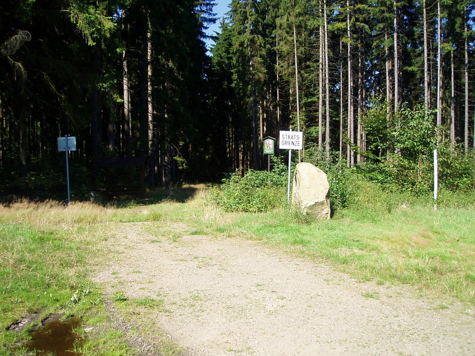
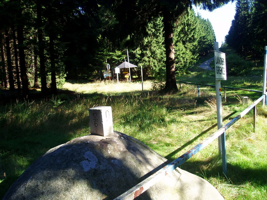
Etwas länger, mehr Höhenmeter geht der Grenzpfad 2 verglichen mit dem Grenzpfad 1 von Waidhaus aus Richtung Norden. Überwiegend gute Forstwege und wenig Strecke auf Teerstraße. Vom Schellenberg bis Planer Höhe ein Trail, der von weniger Geübten auch geschoben werden kann.


Habe noch Probleme die Wegpunkte in die Karte zu bekommen. Werde das schnellstmöglich nachholen.

galéria trás

Mapa trasy a výškový profil

  • Open Street Map
  • Google
Minimum height 484 m Maximum height 867 m Detailný pohľad

More about the tour author

Nori40
Member since 2010

Send private message

komentáre

leopoldranke on 02.10.2011

Prächtige Tour

Bin die Runde Anfang Oktober 2011 nachgefahren, sehr schön. Auf der tschechischen Seite fährt man meist auf geteerten Wegen vorbei an verfallenen Dörfern.

Achtung: In Waidhaus ist der Track nicht ganz korrekt, dort muss man durch den Ort und zur B 14 bis zum Abzweig nach Reichenau.

Danke für die positive Rückmeldung und weiter viel Spaß beim Radeln. Ist ja z. Zt. wirklich ein "goldener Oktober"!

GPS trasy

Trackpoints
  • GPX / Garmin Map Source (gpx) download
  • TCX / Garmin Training Center® (tcx) download
  • CRS / Garmin Training Center® (crs) download
  • Google Earth (kml) download
  • G7ToWin (g7t) download
  • TTQV (trk) download
  • Overlay (ovl) download
  • Fugawi (txt) download
  • Kompass (DAV) Track (tk) download
  • list trasy (pdf) download
  • Original file of the author (gpx) download

More about the tour author

Nori40
Member since 2010

Send private message
Share track
Add to my favorites
Remove from my favorites
Edit tags
My score
Rate
trasa: Grenzpfad Opf./CZ Nr. 2
Druh: horský bicykel
Dĺžka: 46,9 km
Evaluated on:
Doba:
Day(s)
Hour(s)
Minute(s)
ohodnotenie: Kraj pôžitok z túry kondícia technika