


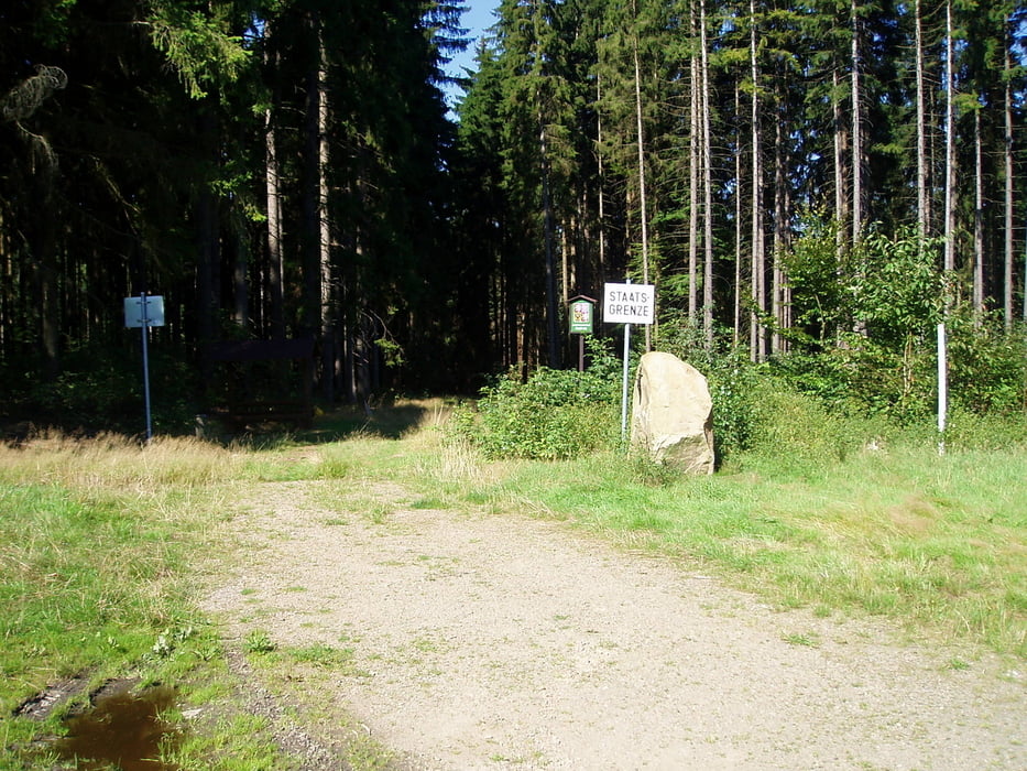
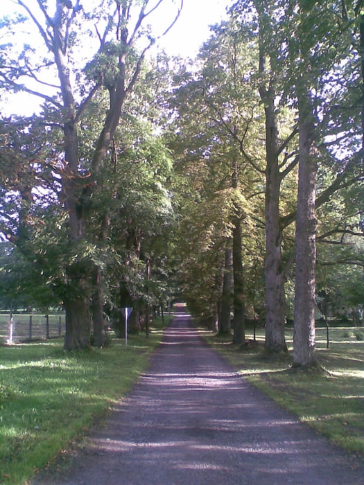
Start in Waidhaus oder Eslarn. Nach GPS oder frei Schnauze zum Grenzübergang Tillyschanz. Unmittelbar hinter der Tankstelle Teerstraße auf Waldweg fahren. Von dort dem GPS nach Diana folgen. Schöne Landschaft. In Dianaberg evtl. altes Schloss anschauen. Weiter über Waldwege nach Rozvadov. Dort rechts abbiegen und nach kurzer Teerstrecke vor dem Club "Mephisto" nach links Richtung Novy Domky. Am Ortsausgang Novy Domky steht eine alte Kaserne der ehem. Grenzsoldaten, die jetzt als Heim für Jugendliche umfunktioniert wurde. Dort auch Pension Hubert mit Einkehrmöglichkeit. An einem Gedenkstein von 1989 zur Grenzöffnung vorbei bergab bis zu einer Weggabelung mit Wegweisung und Rastbänken. Dort links fahren bis zum Grenzübergang nahe Reichenau. Von hier aus wieder Richtung Waidhaus zum Ausgangspunkt.
galéria trás

Mapa trasy a výškový profil
Minimum height 491 m
Maximum height 621 m
More about the tour author
|
|
Nori40 |
komentáre

GPS trasy
Trackpoints-
GPX / Garmin Map Source (gpx) download
-
TCX / Garmin Training Center® (tcx) download
-
CRS / Garmin Training Center® (crs) download
-
Google Earth (kml) download
-
G7ToWin (g7t) download
-
TTQV (trk) download
-
Overlay (ovl) download
-
Fugawi (txt) download
-
Kompass (DAV) Track (tk) download
-
list trasy (pdf) download
-
Original file of the author (gpx) download
More about the tour author
|
|
Nori40 |
Add to my favorites
Remove from my favorites
Edit tags
Open track
My score
Rate