


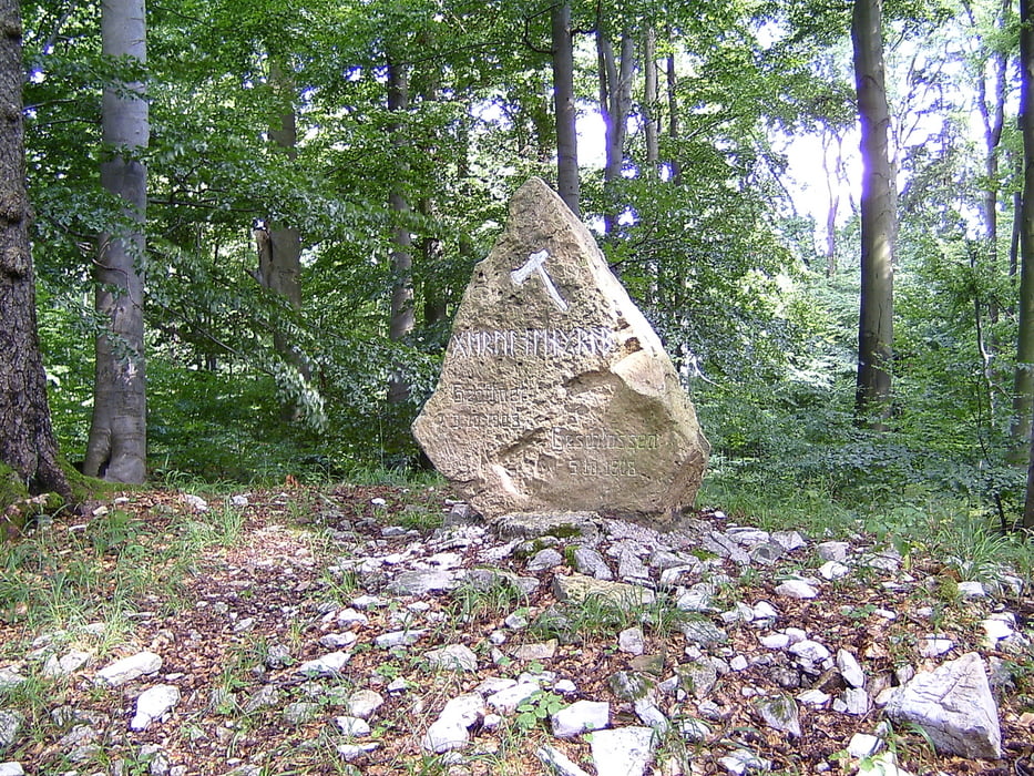
Wir starteten bei schönen Sonne-Wolken-Mix auf dem Parkplatz am Schwimmbad in Richtung Schloss. Über den Hylligen Born ging es dann Richtung Wald. Erste kleine Steigungen brachten uns ins schwitzen, puh! Aber die erste Bank zur Pause war unsere :o) Nun ging es leicht stetig bergauf! Aber die Mühe lohnt sich, denn an dem höchsten Punkt angekommen, ging es Richtung Schellenturm. Von diesem erwartet ein ein traumhafter Ausblick über das Weserbergland!! So, kurze Pause und weiter gehts, nun aber berggab :o) Nächste Ziel war das Germanengrab. Ab da folgt eine sehr schwierige Steilpiste, die wir teils abgestiegen sind, weil sie doch sehr krass ab geht! Unten angekommen war unser nächstes Ziel der Gasthof Schellental, dort wartete ein schönes Glas Weizenbier :o) Nun ging es Richtung Löwensen zur Grillhütte, teils steil, teils angenehm zu fahren.Nun ging es zur Stärkung nach McDonalds und danach auf flacher Srecke gemütlich zum Start!! Viel Spass beim nachmachen!
galéria trás


Mapa trasy a výškový profil
Minimum height 85 m
Maximum height 307 m
More about the tour author

|
Dont-Like-Roads |
komentáre

Start: Parkplatz Hallenwellenbad Südstraße 31812 Bad Pyrmont
Parkplatz Hallenwellenbad Südstr.
51°58'51.96"N
9°14'52.29"E
Hier ist auch der Wohnmobil- Stellplatz !!!
GPS trasy
Trackpoints-
GPX / Garmin Map Source (gpx) download
-
TCX / Garmin Training Center® (tcx) download
-
CRS / Garmin Training Center® (crs) download
-
Google Earth (kml) download
-
G7ToWin (g7t) download
-
TTQV (trk) download
-
Overlay (ovl) download
-
Fugawi (txt) download
-
Kompass (DAV) Track (tk) download
-
list trasy (pdf) download
-
Original file of the author (gpx) download
More about the tour author
|
|
Dont-Like-Roads |
Add to my favorites
Remove from my favorites
Edit tags
Open track
My score
Rate