


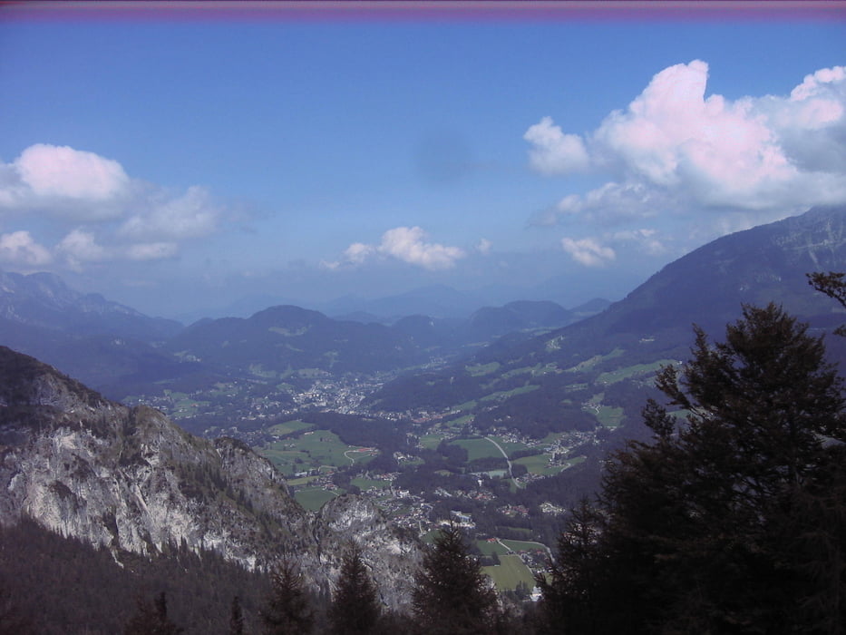
Nach schöner Abfahrt nach Lofer nehmen wir Kurs an der Saalach entlang. Ein schöner einfacher Trail führt uns wieder bergauf zwischen Steinernem Meer und Reiter Alpe hindurch zum Hirschbichl. Nach einer zünftigen Einkehr am Hintersee, schwitzen wir noch einmal auf 1400 Meter Höhe rauf zur Kührointalm. Zwischen den Massiven des legendären Watzmann und Hohen Göll genießen wir den Postkartenblick bei einer kleinen Erfrischung. Nach einem Abstecher zur Archenkanzel mit Vogelperspektive auf den Königssee genießen wir die letzte Abfahrt hinunter zum See, wo uns das kühle Nass zu einer letzten Erfrischung einlädt. Dannach weiter nach Berchtesgaden zum Bahnhof.
galéria trás


Mapa trasy a výškový profil
Minimum height 99999 m
Maximum height -99999 m
More about the tour author
|
|
Berne |
komentáre

GPS trasy
Trackpoints-
GPX / Garmin Map Source (gpx) download
-
TCX / Garmin Training Center® (tcx) download
-
CRS / Garmin Training Center® (crs) download
-
Google Earth (kml) download
-
G7ToWin (g7t) download
-
TTQV (trk) download
-
Overlay (ovl) download
-
Fugawi (txt) download
-
Kompass (DAV) Track (tk) download
-
list trasy (pdf) download
-
Original file of the author (gpx) download
More about the tour author
|
|
Berne |
Add to my favorites
Remove from my favorites
Edit tags
Open track
My score
Rate