Login

Zabudli ste prihlasovacia meno

Cookies have to be accepted!
Your browser's cookie functionality is disabled. Please enable this functionality.

Not a member yet?

Register now
Login

Available for registred users only

Log in to use this feature.

Zabudli ste prihlasovacia meno

Cookies have to be accepted!
Your browser's cookie functionality is disabled. Please enable this functionality.

Not a member yet?

Register now
Filter
Kategórie
Advanced filters
  • Dĺžka (km)
  • výškomer
Uložiť filter Reset filter

TrackRank

QRCode

Technical data

Dĺžka114,1 km výškomer1429 m Way down1425 m Doba00:00 h:m dátum03.09.2010
ohodnotenia Author Kraj pôžitok z túry kondícia technika

štatistika

1520 náhľady 1 ohodnotenie 169 Stiahnutia 4.00 priemer
Rate
  • list trasy
  • príjazd
  • Stiahnutia

Landschaftlich sehr schöne Runde. Stellenweise mehr Verkehr (vor allem am Wochenende), vor allem Lechtal-Bundesstrasse sowie Bundesstrasse von Heiterwang nach Reutte.

Update 2016: Möglichst nicht am Wochenende, da inzwischen viel zu viele Motorräder! Dafür gibt es inzwischen die Umfahrung von Heiterwang. dadurch geht es von Heiterwang bis rauf zur Umfahrung inzwischen deutlich ruhiger zu!
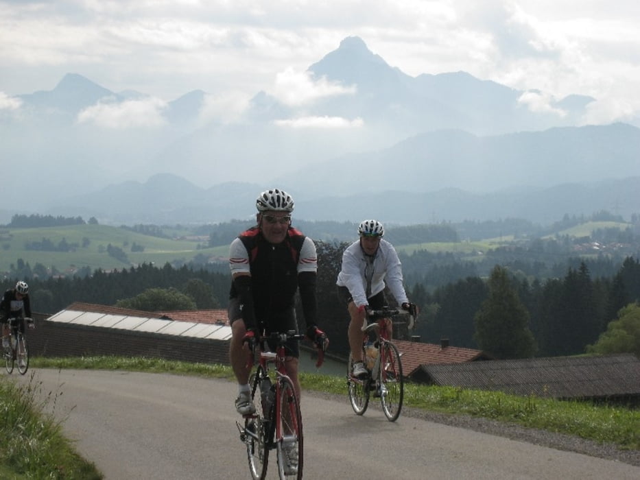
galéria trás

Mapa trasy a výškový profil

  • Open Street Map
  • Google
Minimum height 791 m Maximum height 1367 m Detailný pohľad

More about the tour author

Tourmalet
Member since 2008

Send private message

komentáre

fergel on 06.10.2012

Namlos

Bei traumhaftem Wetter bin ich Anfang Oktober 2012 diese schöne Runde gefahren. Der Verkehr war nur an einigen Streckenabschnitten spürbar. Die Landschaft und die Ausblicke waren traumhaft. Sehr zu empfehlen - aber es gibt wahrscheinlich noch unzählige andere sehr schöne Touren.

GPS trasy

Trackpoints
  • GPX / Garmin Map Source (gpx) download
  • TCX / Garmin Training Center® (tcx) download
  • CRS / Garmin Training Center® (crs) download
  • Google Earth (kml) download
  • G7ToWin (g7t) download
  • TTQV (trk) download
  • Overlay (ovl) download
  • Fugawi (txt) download
  • Kompass (DAV) Track (tk) download
  • list trasy (pdf) download
  • Original file of the author (gpx) download

More about the tour author

Tourmalet
Member since 2008

Send private message
Share track
Add to my favorites
Remove from my favorites
Edit tags
My score
Rate
trasa: Namlos-Runde
Druh: pretekársky bicykel
Dĺžka: 114,1 km
Evaluated on:
Doba:
Day(s)
Hour(s)
Minute(s)
ohodnotenie: Kraj pôžitok z túry kondícia technika