
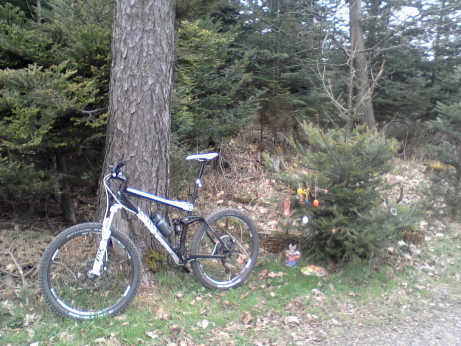

Eine kleine Runde mit einem guten Mischung aus Waldweg und Trail.
Start Hauptfeuerwehr Pforzheim weiter zum Kupferhammer. Hier geht es auf einem kleinen Wanderpfad rauf nach Huchenfeld. In Huchenfeld zw. den Fußballfeldern rein in den Wald/Trail. Richtung Dillweißenstein. Hinter Waldschlösschen rauf nach Büchenbronn/Hermannsee. Es zweigt vom Waldweg ein Trail (ist vom Weg aus nicht als dieser zu erkennen) nach links ab. Evtl. Sattel runter da sehr steil. Dann geht es zurück nach Pforzheim. Ausgangspunkt Feuerwehr.
Sucht ihr noch Mitstreiter, fahre gerne (auch andere Ausfahrten) mit. Einfach melden.
Mapa trasy a výškový profil
Minimum height 253 m
Maximum height 472 m
More about the tour author
|
|
dr_fork |
komentáre

falls Anfahrt mit dem Auto, kann dieses auf dem Messplatz neben der Feuerwehr geparkt werden.
GPS trasy
Trackpoints-
GPX / Garmin Map Source (gpx) download
-
TCX / Garmin Training Center® (tcx) download
-
CRS / Garmin Training Center® (crs) download
-
Google Earth (kml) download
-
G7ToWin (g7t) download
-
TTQV (trk) download
-
Overlay (ovl) download
-
Fugawi (txt) download
-
Kompass (DAV) Track (tk) download
-
list trasy (pdf) download
-
Original file of the author (gpx) download
More about the tour author
|
|
dr_fork |
Add to my favorites
Remove from my favorites
Edit tags
Open track
My score
Rate