


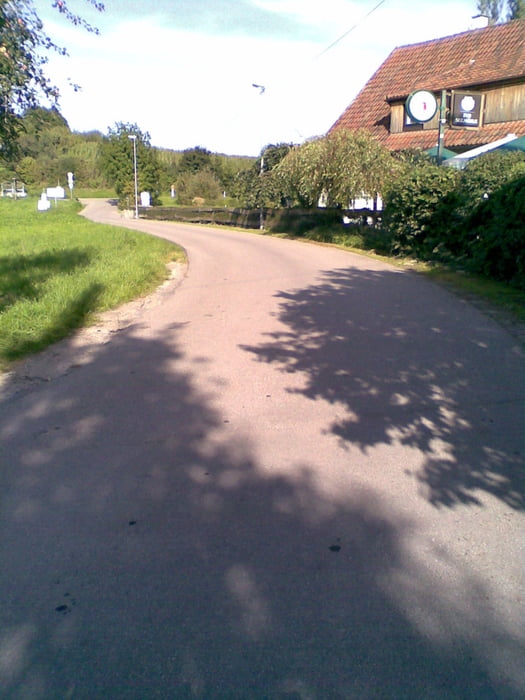
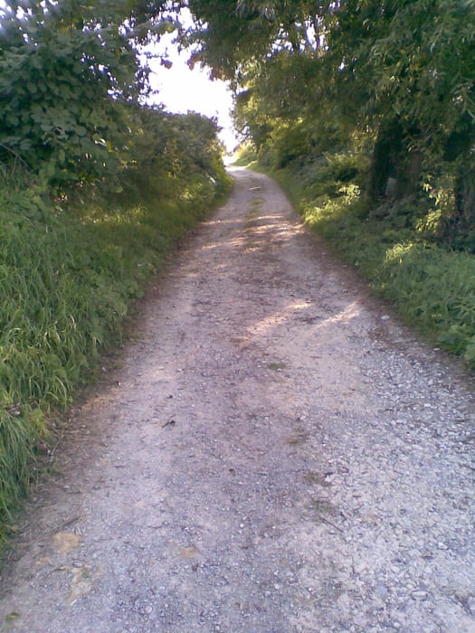
Von der Kelter Fellbach aus startet man durch Weinberge und Gärten über Rommelshausen nach Stetten. Durch Stetten durch weiter in Richtung Strümpfelbach wo die Strecke davor nach Beutelsbach wieder durch Weinberge führt. Von Beutelsbach aus geht es weiter nach Großheppach, Kleinheppach über Feldwege und Radwege weiter nach Korb und dann nach Beinstein. Danach über den Schüttelgraben wieder zurück nach Fellbach. Die Tour kann auch gut andersherum gefahren werden bzw. mit Trekkingrad.
Über einen Kommentar oder Anregungen würde ich mich freuen.
Further information at
http://www.fellbach.degaléria trás


Mapa trasy a výškový profil
Minimum height 228 m
Maximum height 342 m
More about the tour author
|
|
jogotogo |
komentáre

Neue Kelter, Kappelbergstr. 48, 70734 Fellbach
GPS trasy
Trackpoints-
GPX / Garmin Map Source (gpx) download
-
TCX / Garmin Training Center® (tcx) download
-
CRS / Garmin Training Center® (crs) download
-
Google Earth (kml) download
-
G7ToWin (g7t) download
-
TTQV (trk) download
-
Overlay (ovl) download
-
Fugawi (txt) download
-
Kompass (DAV) Track (tk) download
-
list trasy (pdf) download
-
Original file of the author (gpx) download
More about the tour author
|
|
jogotogo |
Add to my favorites
Remove from my favorites
Edit tags
Open track
My score
Rate