Fortsetzung der Tour "Sella Ronda ... TAG1"
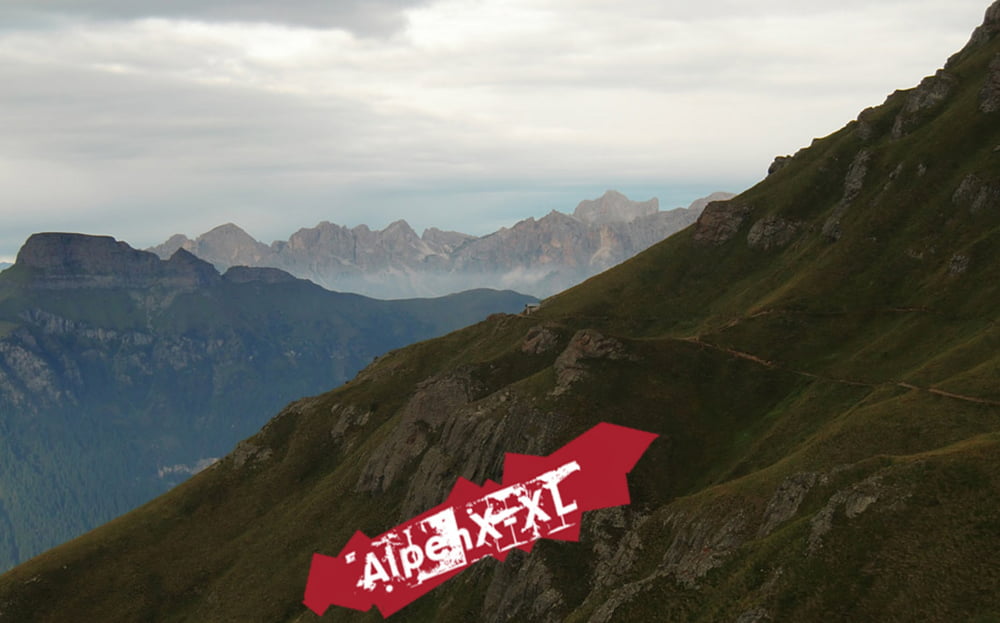
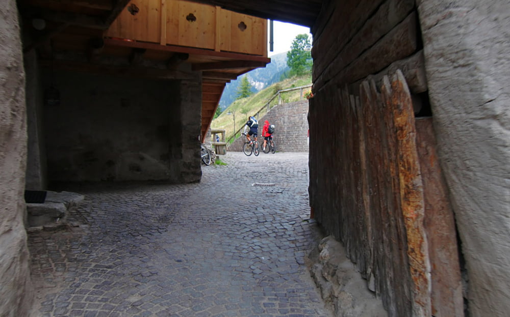
Nach der Übernachtung bei den sehr freundlichen Leuten der Bindelweghütte ging es weiter auf dem Bindelweg zum Pass Pordoi, von da auf Trails nach Canazei, Durch das Val Duron über den Pass Duron, "Auf der Schneid" und die Zallinger Hütte zurück nach Wolkenstein...
Auf meiner Homepage gibt es einen ausführlichen Bericht und sehr viele Fotos.
Der link steht unten, viel Spaß...
Further information at
http://www.alpenx-xl.de/2010/10_sellaronda02/10sellaronda02.phpgaléria trás
Mapa trasy a výškový profil
Minimum height 1446 m
Maximum height 2435 m
komentáre

GPS trasy
Trackpoints-
GPX / Garmin Map Source (gpx) download
-
TCX / Garmin Training Center® (tcx) download
-
CRS / Garmin Training Center® (crs) download
-
Google Earth (kml) download
-
G7ToWin (g7t) download
-
TTQV (trk) download
-
Overlay (ovl) download
-
Fugawi (txt) download
-
Kompass (DAV) Track (tk) download
-
list trasy (pdf) download
-
Original file of the author (gpx) download
Add to my favorites
Remove from my favorites
Edit tags
Open track
My score
Rate


