


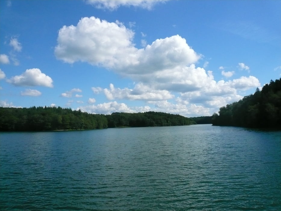
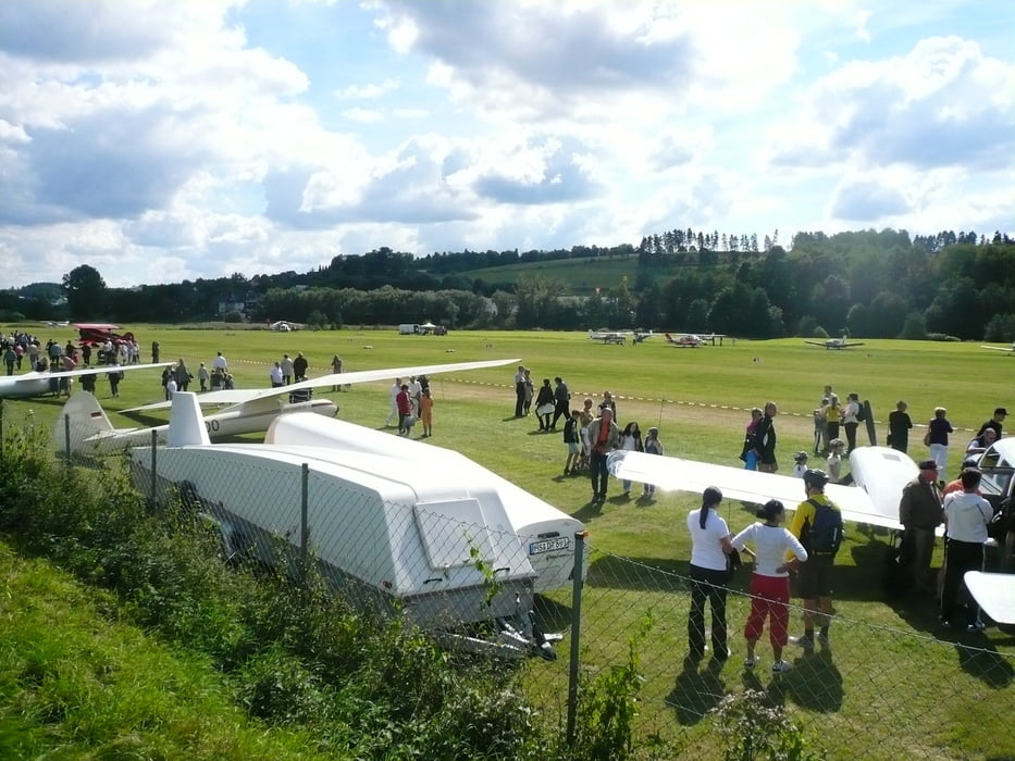
Start in der Falkenstraße und über die Remscheider Straße in den Höveler Weg, an dessen Ende nach li. zum Leyer Sonnenschein und hinunter zur Altenmühle, weiter nach re. bis zur Läufer-Infotafel, dann re. und li. durch ein schönes Tal bis zur K 3, diese überqueren und am Dornbachteich vorbei bis Vorst bis zur alten Eiche, dann nach re. über den Wanderweg bis zur K 30, hier wieder weiter nach li. und re. in Wald und an der Neye entlang bis zur Staumauer der Neye, hinunter über Klitzhaufe auf den Radweg nach Hückeswagen und wieder zurück bis Wipperfürth zum Besuch des Flugplatzfestes, dann durch Wipperfürth und weiter wieder auf den Radweg Ri. Marienheide bis Böswipper, im Ibachtal auf die Asphaltstraße, dann nach li. in das abwechsungsreiche Waldgebiet bis Voswinckel und weiter zur Kreuzung, nach li. Ri. Auf dem Heede und Engstfeld, hier nach li. bis Schlade auf die K 3, nach li. bis zur L 284, weiter nach re. auf der L 284 bis zum Holzabfuhrweg nach li. auf den Radweg Ri. Halver und durch Halver zurück nach Hause.
Further information at
http://www.wipperfuerth.degaléria trás
Mapa trasy a výškový profil
Minimum height 252 m
Maximum height 436 m
More about the tour author
|
|
neuser |
komentáre

GPS trasy
Trackpoints-
GPX / Garmin Map Source (gpx) download
-
TCX / Garmin Training Center® (tcx) download
-
CRS / Garmin Training Center® (crs) download
-
Google Earth (kml) download
-
G7ToWin (g7t) download
-
TTQV (trk) download
-
Overlay (ovl) download
-
Fugawi (txt) download
-
Kompass (DAV) Track (tk) download
-
list trasy (pdf) download
-
Original file of the author (gpx) download
More about the tour author
|
|
neuser |
Add to my favorites
Remove from my favorites
Edit tags
Open track
My score
Rate