


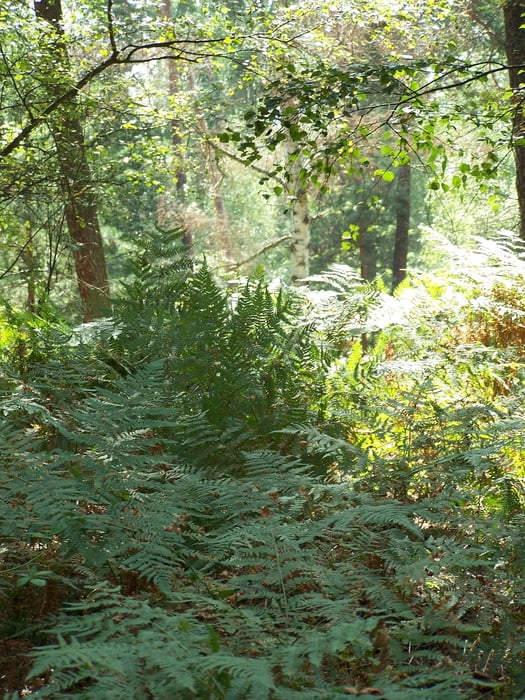
Der Sonntag war vom Wetter her gesehen super. Und weil ich meine Kondition halten wollte stieg ich auf mein Rad um ein wenig im Grunewald herumzufahren.
Erster Anlaufpunkt war die alte Försterei mit dem Trinkwasserbrunnen.
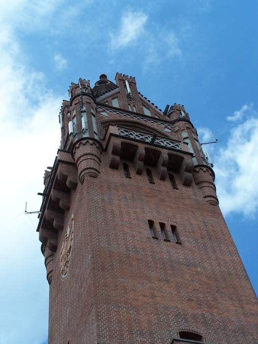
Nach dem Downhill nach Süden und der starken Linkskurve folgte der Grunewaldturm. Der Imbiss war offen und der Softdrink schmeckte lecker.
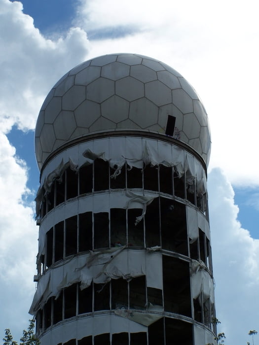
Nun weiter in Richtung Teufelsberg. Zuerst Speed auf der Straße und danach noch an der Schweinebucht am Teufelsee vorbei in Richtung des Parkplatzes.
Links ab und immer den Berg rauf. Der schmale Weg am Zaun entlang macht immer wieder Spass.
Der Downhill auf den schmalen Wegen gelingt mir jetzt auch immer besser.
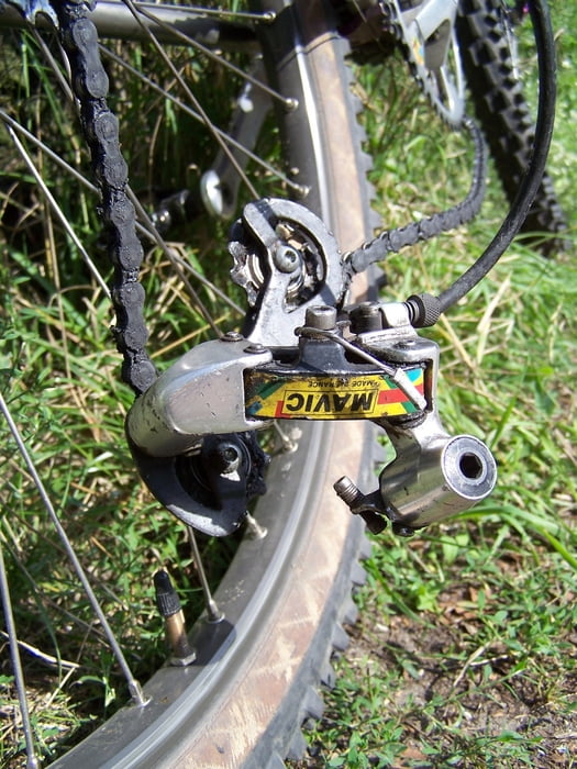
Leider habe ich mir beim Anstieg zum DAV Kletterfelsen das Schaltwerk abgerissen. Mist.
War trotzdem eine schöne Tour. Unvollendet weil ich nicht mehr fahren konnte.
P.S. Wer das Schaltwerk haben möchte...
Further information at
http://www.mavic.de/mtb/galéria trás
Mapa trasy a výškový profil
Minimum height 37 m
Maximum height 113 m
More about the tour author
|
|
Pheinz |
komentáre

Von Zuhause immer in Richtung Wald.
GPS trasy
Trackpoints-
GPX / Garmin Map Source (gpx) download
-
TCX / Garmin Training Center® (tcx) download
-
CRS / Garmin Training Center® (crs) download
-
Google Earth (kml) download
-
G7ToWin (g7t) download
-
TTQV (trk) download
-
Overlay (ovl) download
-
Fugawi (txt) download
-
Kompass (DAV) Track (tk) download
-
list trasy (pdf) download
-
Original file of the author (gpx) download
More about the tour author
|
|
Pheinz |
Add to my favorites
Remove from my favorites
Edit tags
Open track
My score
Rate