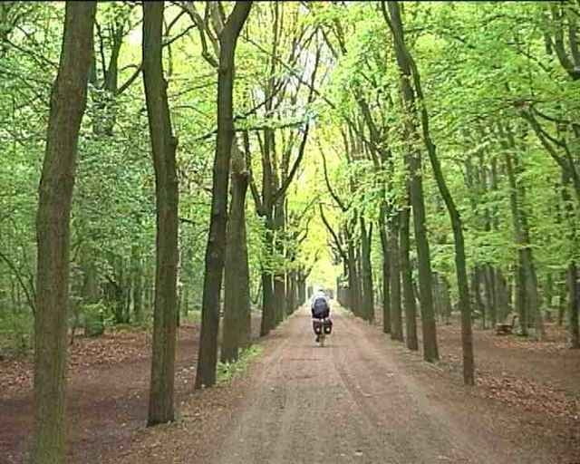
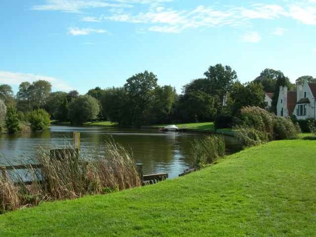
Reizvolle Rundtour vom Hafengebiet in Münster entlang des Dortmund-Ems- Kanals und der Werse. Auf kleinen Wegen geht es durch idyllische Landschaften und Naturschutzgebiete. Unterwegs kommt man an zahlreichen Gaststätten und Badeplätzen vorbei.
Routenverlauf:
Hafen Münster, Dortmund-Ems-Kanal, Rieselfelder, Gimbte, Gelmer, Sudmühle, Pleister Mühle, Angelmodde, Albersloh, Hiltruper See, Münster.
Routenverlauf:
Hafen Münster, Dortmund-Ems-Kanal, Rieselfelder, Gimbte, Gelmer, Sudmühle, Pleister Mühle, Angelmodde, Albersloh, Hiltruper See, Münster.
galéria trás
Mapa trasy a výškový profil
Minimum height 75 m
Maximum height 79 m
komentáre
mannfres
on 03.04.2010
an Werse und Kanal ist es herrlich, im April ist dort auch noch relativ wenig Betrieb.

Vom HBF Münster aus nach Norden, rechts ab in die Wolbecker Strasse, nach der Unterführung rechts in die Schillerstrasse bis zum Hafen. Die Tour beginnt an der Brücke auf der Südostseite des Dortmund-Ems-Kanals.
GPS trasy
Trackpoints-
GPX / Garmin Map Source (gpx) download
-
TCX / Garmin Training Center® (tcx) download
-
CRS / Garmin Training Center® (crs) download
-
Google Earth (kml) download
-
G7ToWin (g7t) download
-
TTQV (trk) download
-
Overlay (ovl) download
-
Fugawi (txt) download
-
Kompass (DAV) Track (tk) download
-
list trasy (pdf) download
-
Original file of the author (g7t) download
Add to my favorites
Remove from my favorites
Edit tags
Open track
My score
Rate


