


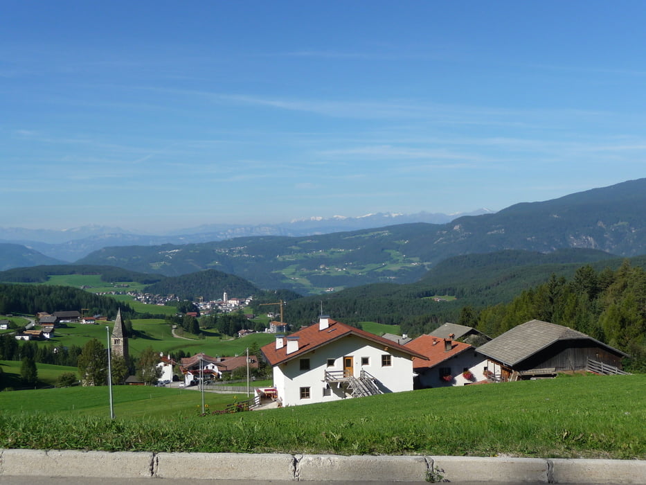
Vom Startpunkt St. Christina geht die Route leicht bergab durch St. Ulrich um dann für ca. 300HM hinauf nach Kastelruth anzusteigen(kurzes Teilstück mit 15%). Die Aussicht von dort nach Bozen und auf die umliegenden Berge ist grandios. Von Kastelruth nach Bozen geht es nun permanent bergab entlang der Etsch auf dem Radweg.
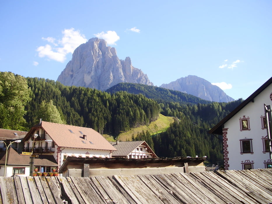
In Bozen dreht man dann wieder um und fährt die gleiche Strecke für ca. 23 km in die Gegenrichtung bis man auf die SS242 ins Grödnertal abbiegt. Ab jetzt wird es ernst, denn auf den verbleibenden 16km macht man 1100 Höhenmeter mit Steigungen bis zu 18%.
galéria trás


Mapa trasy a výškový profil
Minimum height 260 m
Maximum height 1513 m
More about the tour author
|
|
hausnerjo |
komentáre

GPS trasy
Trackpoints-
GPX / Garmin Map Source (gpx) download
-
TCX / Garmin Training Center® (tcx) download
-
CRS / Garmin Training Center® (crs) download
-
Google Earth (kml) download
-
G7ToWin (g7t) download
-
TTQV (trk) download
-
Overlay (ovl) download
-
Fugawi (txt) download
-
Kompass (DAV) Track (tk) download
-
list trasy (pdf) download
-
Original file of the author (gpx) download
More about the tour author
|
|
hausnerjo |
Add to my favorites
Remove from my favorites
Edit tags
Open track
My score
Rate