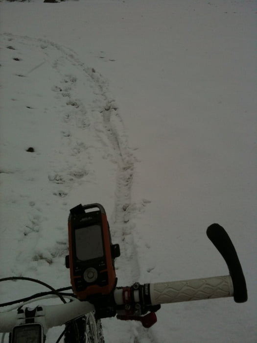
Das Pfunderer Joch hat es in sich, es bei Regen und Schneefall zu beklimmen ist aber doch ein besonderes Abenteuer. Für die Abfahrt hat sich dann doch die Plagerei gelohnt.
Die Aufahrt in das Fanesgebiet ist richtig Klasse. Die Landschaft ist wirklich fänomenal!
galéria trás
Mapa trasy a výškový profil
Minimum height 750 m
Maximum height 2572 m
komentáre

GPS trasy
Trackpoints-
GPX / Garmin Map Source (gpx) download
-
TCX / Garmin Training Center® (tcx) download
-
CRS / Garmin Training Center® (crs) download
-
Google Earth (kml) download
-
G7ToWin (g7t) download
-
TTQV (trk) download
-
Overlay (ovl) download
-
Fugawi (txt) download
-
Kompass (DAV) Track (tk) download
-
list trasy (pdf) download
-
Original file of the author (gpx) download
Add to my favorites
Remove from my favorites
Edit tags
Open track
My score
Rate


