Login

Zabudli ste prihlasovacia meno

Cookies have to be accepted!
Your browser's cookie functionality is disabled. Please enable this functionality.

Not a member yet?

Register now
Login

Available for registred users only

Log in to use this feature.

Zabudli ste prihlasovacia meno

Cookies have to be accepted!
Your browser's cookie functionality is disabled. Please enable this functionality.

Not a member yet?

Register now
Filter
Kategórie
Advanced filters
  • Dĺžka (km)
  • výškomer
Uložiť filter Reset filter

TrackRank

QRCode

Technical data

Dĺžka35,6 km výškomer1920 m Way down963 m Doba07:30 h:m dátum20.09.2010
ohodnotenia Author User Kraj pôžitok z túry kondícia technika

štatistika

555 náhľady 1 ohodnotenie 140 Stiahnutia 5.00 priemer
Rate
  • list trasy
  • príjazd
  • Stiahnutia

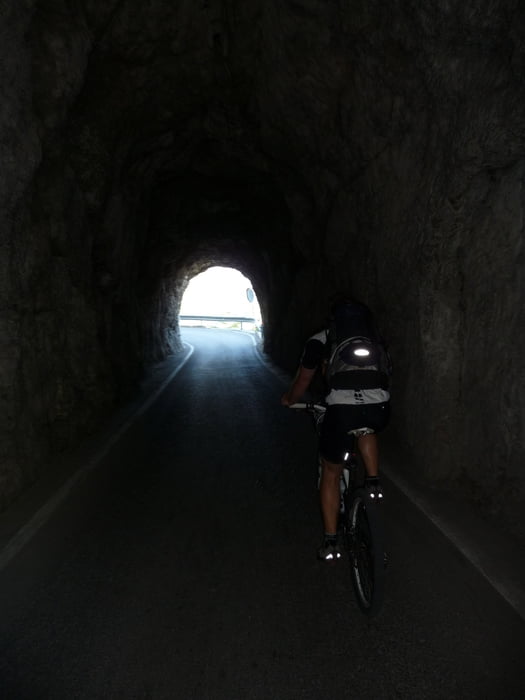
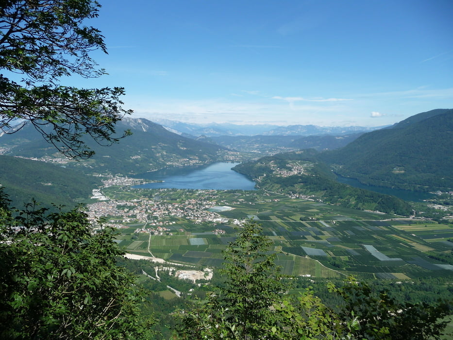
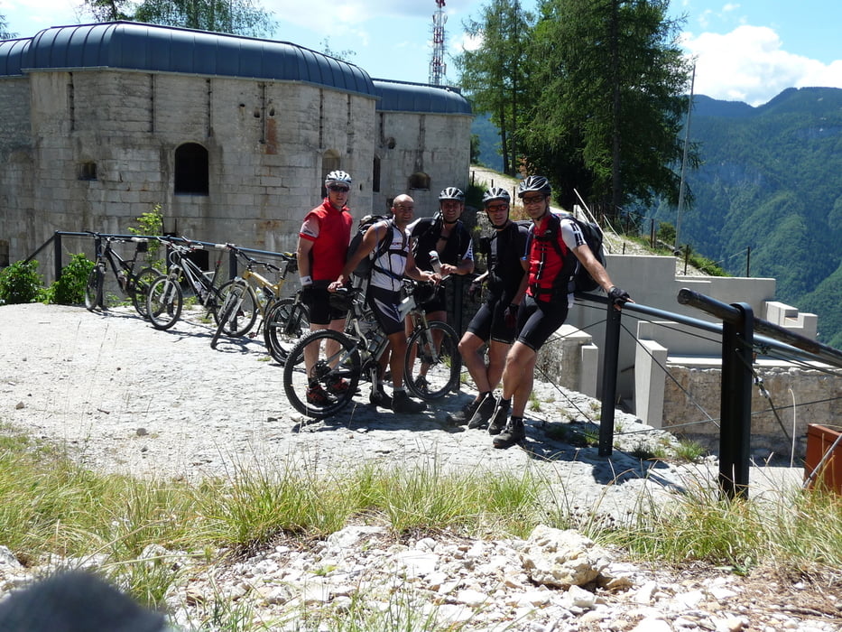
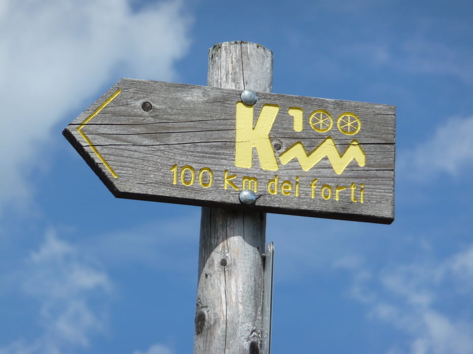
 Tolle Tour mit dem Aufstieg über den Kaiserjägerweg. Zum Teil führt die Strecke über den ausgeschilderten Track 100 km dei forti.

Vorbei an den alten Bunkern des 1. Weltkrieges. Landschaftlich super genial!

galéria trás

Mapa trasy a výškový profil

  • Open Street Map
  • Google
Minimum height 24 m Maximum height 1526 m Detailný pohľad

More about the tour author

BikeoManiac
Member since 2009

Send private message

komentáre

GPS trasy

Trackpoints
  • GPX / Garmin Map Source (gpx) download
  • TCX / Garmin Training Center® (tcx) download
  • CRS / Garmin Training Center® (crs) download
  • Google Earth (kml) download
  • G7ToWin (g7t) download
  • TTQV (trk) download
  • Overlay (ovl) download
  • Fugawi (txt) download
  • Kompass (DAV) Track (tk) download
  • list trasy (pdf) download
  • Original file of the author (gpx) download

More about the tour author

BikeoManiac
Member since 2009

Send private message
Share track
Add to my favorites
Remove from my favorites
Edit tags
My score
Rate
trasa: AC Etappe 6 Levico Therme - Rifugio Stella d'Italia - Torbole
Druh: horský bicykel
Dĺžka: 35,6 km
Evaluated on:
Doba:
Day(s)
Hour(s)
Minute(s)
ohodnotenie: Kraj pôžitok z túry kondícia technika