
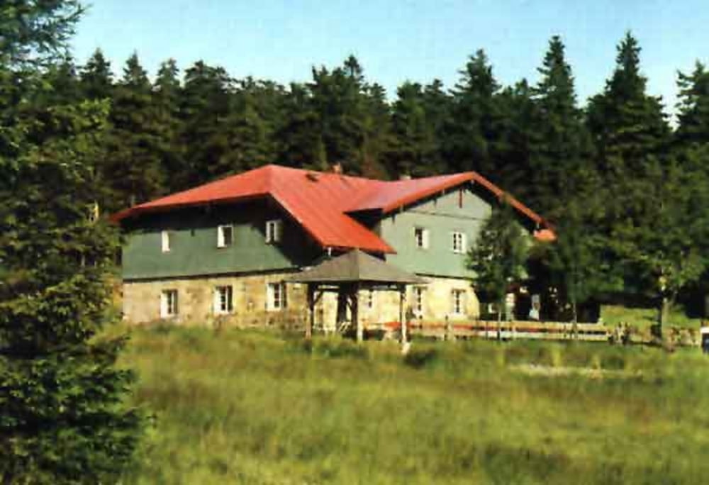

Die Tour führt von Goldkronach über den Weismain-Radweg nach Bischofsgrün. Dann über die untere Ringstraße (Ochsenkopf) Richtung Fichtelsee, kurz vorher überquert man die B303. Ein Forstweg geht hoch zum Seehaus wo sich eine Einkehr anbietet. Gestärkt stürzt man sich dann die Saugass hinab (! Wanderer). Über den Oberen Ring, ( ein Stück die Freerideabfahrt am Ochsenkopf) Täfelein, Hirschhorn und S-Weg geht es zurück nach Goldkronach.
Viel Spass.
Mapa trasy a výškový profil
Minimum height 434 m
Maximum height 930 m
More about the tour author
|
|
berndhuber |
komentáre

A9-Bayreuth Nord-Goldkronach
GPS trasy
Trackpoints-
GPX / Garmin Map Source (gpx) download
-
TCX / Garmin Training Center® (tcx) download
-
CRS / Garmin Training Center® (crs) download
-
Google Earth (kml) download
-
G7ToWin (g7t) download
-
TTQV (trk) download
-
Overlay (ovl) download
-
Fugawi (txt) download
-
Kompass (DAV) Track (tk) download
-
list trasy (pdf) download
-
Original file of the author (gpx) download
More about the tour author
|
|
berndhuber |
Add to my favorites
Remove from my favorites
Edit tags
Open track
My score
Rate