Login

Zabudli ste prihlasovacia meno

Cookies have to be accepted!
Your browser's cookie functionality is disabled. Please enable this functionality.

Not a member yet?

Register now
Login

Available for registred users only

Log in to use this feature.

Zabudli ste prihlasovacia meno

Cookies have to be accepted!
Your browser's cookie functionality is disabled. Please enable this functionality.

Not a member yet?

Register now
Filter
Kategórie
Advanced filters
  • Dĺžka (km)
  • výškomer
Uložiť filter Reset filter

TrackRank

QRCode

Technical data

Dĺžka163,4 km výškomer476 m Way down482 m Doba09:45 h:m dátum26.09.2010
ohodnotenia Author Kraj pôžitok z túry kondícia technika

štatistika

1297 náhľady ohodnotenia 114 Stiahnutia priemer
Rate
  • list trasy
  • príjazd
  • Stiahnutia

Start ist in Kleinmachnow und es wird gegen die Uhrzeigerrichtung gefahren.

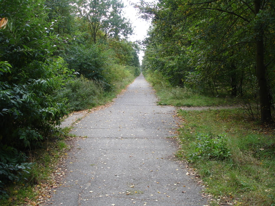
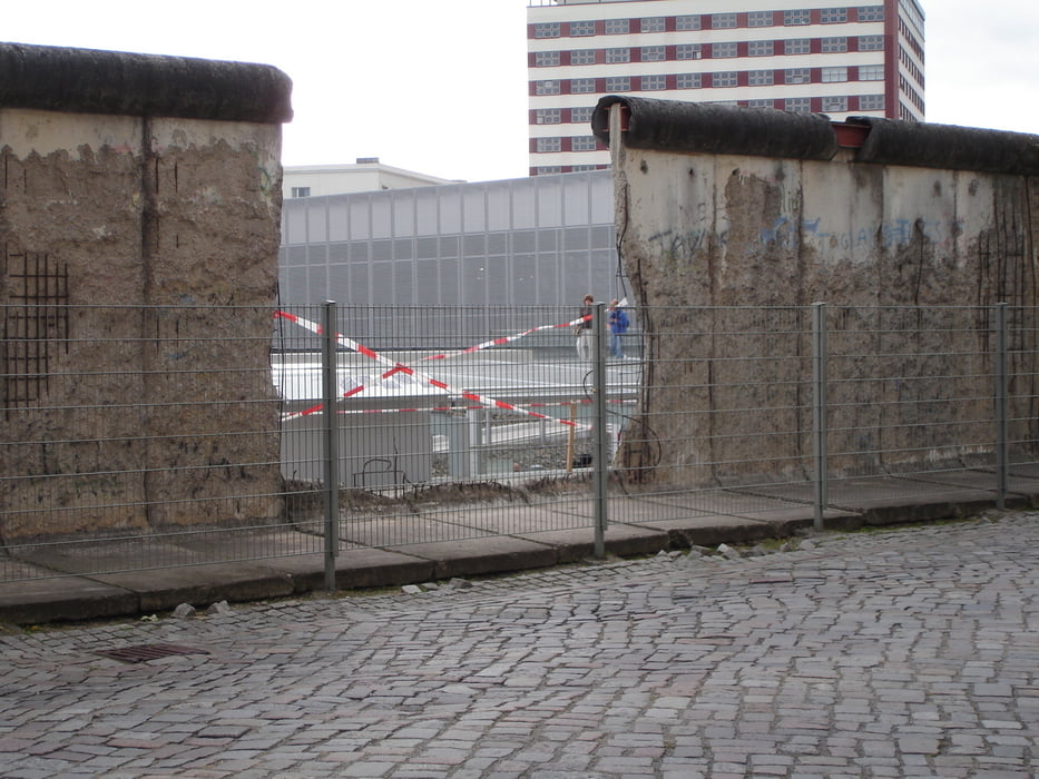
Eine sehr Interesante Tour, da man wirklich fast immer an der Grenze fährt und verschiedene Eindrücke sammelt.

Von Alt-Kladow nach Wannsee sind wir mit der Fähre übergesetzt.

Für eine Tagestour sollte man sehr früh beginnen da die Strecke ganz schön lang ist.

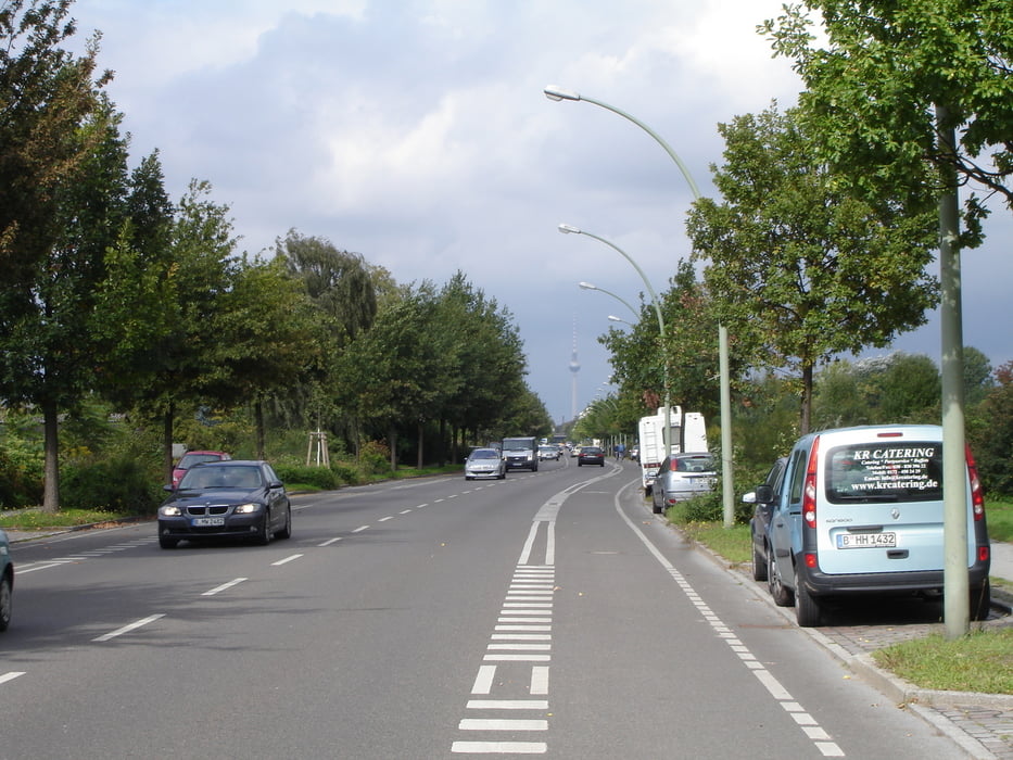
Einkehrmöglichkeiten sind genug vorhanden.


galéria trás

Mapa trasy a výškový profil

  • Open Street Map
  • Google
Minimum height 14 m Maximum height 65 m Detailný pohľad

More about the tour author

wing1
Member since 2007

Send private message

komentáre

Pheinz on 29.03.2012

Gratuliere

Ich glaube dass die Wegfindung manchmal zeitraubend sein kann.
Tolle Tour.

GPS trasy

Trackpoints
  • GPX / Garmin Map Source (gpx) download
  • TCX / Garmin Training Center® (tcx) download
  • CRS / Garmin Training Center® (crs) download
  • Google Earth (kml) download
  • G7ToWin (g7t) download
  • TTQV (trk) download
  • Overlay (ovl) download
  • Fugawi (txt) download
  • Kompass (DAV) Track (tk) download
  • list trasy (pdf) download
  • Original file of the author (gpx) download

More about the tour author

wing1
Member since 2007

Send private message
Share track
Add to my favorites
Remove from my favorites
Edit tags
My score
Rate
trasa: Berlin Mauerweg
Druh: cykloturistika
Dĺžka: 163,4 km
Evaluated on:
Doba:
Day(s)
Hour(s)
Minute(s)
ohodnotenie: Kraj pôžitok z túry kondícia technika