Login

Zabudli ste prihlasovacia meno

Cookies have to be accepted!
Your browser's cookie functionality is disabled. Please enable this functionality.

Not a member yet?

Register now
Login

Available for registred users only

Log in to use this feature.

Zabudli ste prihlasovacia meno

Cookies have to be accepted!
Your browser's cookie functionality is disabled. Please enable this functionality.

Not a member yet?

Register now
Filter
Kategórie
Advanced filters
  • Dĺžka (km)
  • výškomer
Uložiť filter Reset filter

TrackRank

QRCode

Technical data

Dĺžka42,2 km výškomer482 m Way down468 m Doba03:00 h:m dátum29.09.2010
ohodnotenia Author User Kraj pôžitok z túry kondícia technika

štatistika

2393 náhľady 1 ohodnotenie 301 Stiahnutia 4.00 priemer
Rate
  • list trasy
  • príjazd
  • Stiahnutia

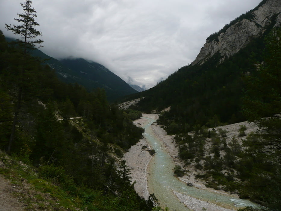
Vom Bahnhof in Mittenwald geht es immer rechts bzw. links der Isar nach Scharnitz. Dort muss die Hauptstr. überquert werden bevor es kurz steil und dann allmählich Richtung Isarursprung und Kastenalm geht.

Die Kastenalm ist in den Sommermonaten bewirtschaft und eignet sich auch hervorragend um dort das Rad stehen zu lassen und zu Fuss die Hallerangeralm (Bike und Hike) zu besuchen. Gehzeit ca. 1,5 h.

galéria trás

Mapa trasy a výškový profil

  • Open Street Map
  • Google
Minimum height 957 m Maximum height 1277 m Detailný pohľad

More about the tour author

hasenfluesterer
Member since 2010

Send private message

komentáre

GPS trasy

Trackpoints
  • GPX / Garmin Map Source (gpx) download
  • TCX / Garmin Training Center® (tcx) download
  • CRS / Garmin Training Center® (crs) download
  • Google Earth (kml) download
  • G7ToWin (g7t) download
  • TTQV (trk) download
  • Overlay (ovl) download
  • Fugawi (txt) download
  • Kompass (DAV) Track (tk) download
  • list trasy (pdf) download
  • Original file of the author (gpx) download

More about the tour author

hasenfluesterer
Member since 2010

Send private message
Share track
Add to my favorites
Remove from my favorites
Edit tags
My score
Rate
trasa: Isarursprung
Druh: horský bicykel
Dĺžka: 42,2 km
Evaluated on:
Doba:
Day(s)
Hour(s)
Minute(s)
ohodnotenie: Kraj pôžitok z túry kondícia technika