


Start ist an der Talstation der Belchen-Bahn.
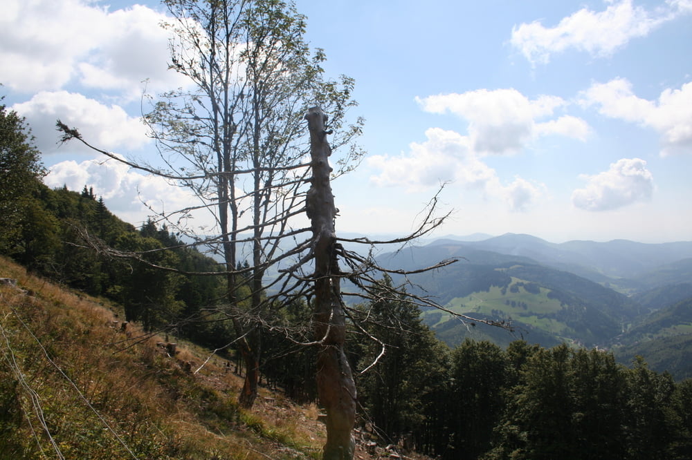
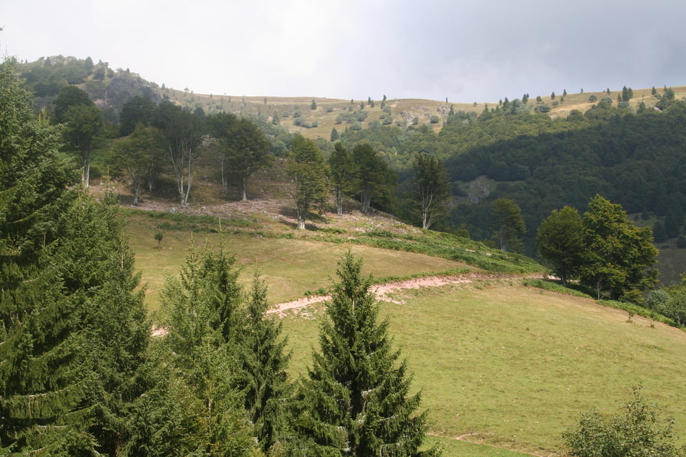
Wir gehen unterhalb der Bahn hoch zum Belchengipfel, von wo aus man einen grandiosen Rundblick hat. Es ist auf jeden Fall lohnenswert im höchsten Gasthof Baden-Württembergs einzukehren (schöne Sonnenterrasse). Vom dritthöchsten Gipfel des Schwarzwaldes gehen wir teilweise über den Westweg und über Forststrassen zurück zur Talstation.
Further information at
http://www.belchenland.degaléria trás

Mapa trasy a výškový profil
Minimum height 920 m
Maximum height 1413 m
More about the tour author
|
|
Seili |
komentáre

Von Staufen im Breisgau über das Münstertal vorbei an St. Trudpert. Über das Wiedener Eck zur Talstation.
GPS trasy
Trackpoints-
GPX / Garmin Map Source (gpx) download
-
TCX / Garmin Training Center® (tcx) download
-
CRS / Garmin Training Center® (crs) download
-
Google Earth (kml) download
-
G7ToWin (g7t) download
-
TTQV (trk) download
-
Overlay (ovl) download
-
Fugawi (txt) download
-
Kompass (DAV) Track (tk) download
-
list trasy (pdf) download
-
Original file of the author (gpx) download
More about the tour author
|
|
Seili |
Add to my favorites
Remove from my favorites
Edit tags
Open track
My score
Rate