


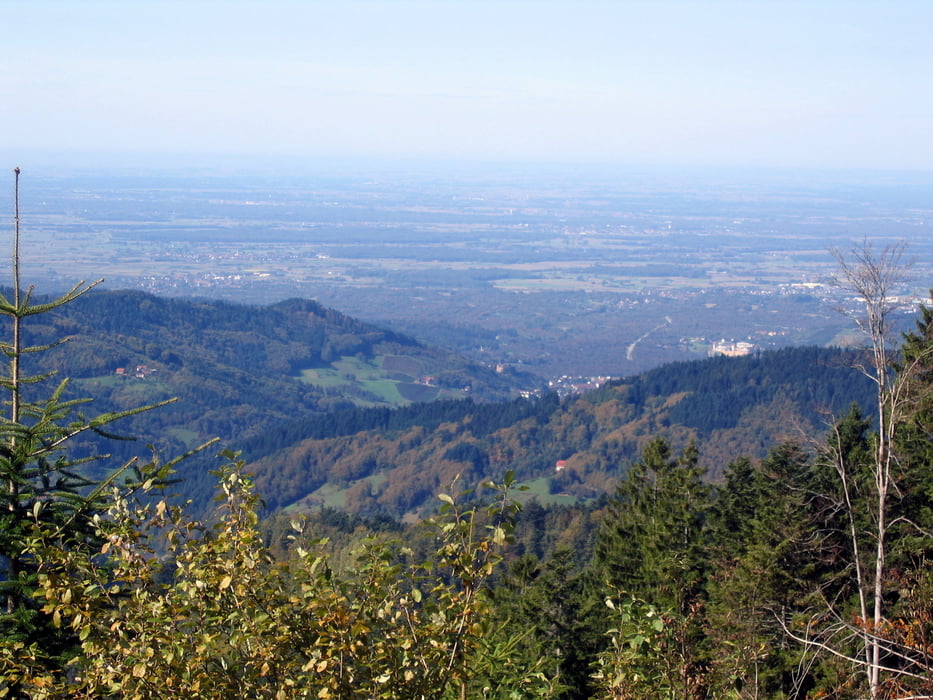
Die Radtour habe ich in Baiersbronn begonnen. Durch das Sankenbachtal auf den Kniebis ist es nur eine kurze Strecke (10 km geteert) und bis zur Alexanderschanze auf der B 500 ist es auch nicht mehr weit. Danach geht es auf der B 500 weiter bis zur Abzweigung auf den Wanderparkplatz unterhalb des Skihangs an der Zuflucht. Hier hat man eine schöne, beliebte Wanderstrecke bis zum Schliffkopf vor sich. Nach dem Schliffkopf geht es nach ca. 3 km abwärts zur Melkerei, dem Parkplatz oberhalb bei Allerheiligen. (Nicht zu verwechseln mit St. Ursula weiter unten) Ab hier habe ich der Einfachheit halber die Fahrstraße bis zum Ruhestein genommen. Vom Ruhestein abwärts nach Baiersbronn bietet sich derzeit die Straße entlang der Rotmurg an, da die Brücke über die Rotmurg zur Zeit renoviert wird.
galéria trás


Mapa trasy a výškový profil
Minimum height 541 m
Maximum height 1012 m
More about the tour author
|
|
SiegfriedTheurer |
komentáre

GPS trasy
Trackpoints-
GPX / Garmin Map Source (gpx) download
-
TCX / Garmin Training Center® (tcx) download
-
CRS / Garmin Training Center® (crs) download
-
Google Earth (kml) download
-
G7ToWin (g7t) download
-
TTQV (trk) download
-
Overlay (ovl) download
-
Fugawi (txt) download
-
Kompass (DAV) Track (tk) download
-
list trasy (pdf) download
-
Original file of the author (gpx) download
More about the tour author
|
|
SiegfriedTheurer |
Add to my favorites
Remove from my favorites
Edit tags
Open track
My score
Rate