Login

Zabudli ste prihlasovacia meno

Cookies have to be accepted!
Your browser's cookie functionality is disabled. Please enable this functionality.

Not a member yet?

Register now
Login

Available for registred users only

Log in to use this feature.

Zabudli ste prihlasovacia meno

Cookies have to be accepted!
Your browser's cookie functionality is disabled. Please enable this functionality.

Not a member yet?

Register now
Filter
Kategórie
Advanced filters
  • Dĺžka (km)
  • výškomer
Uložiť filter Reset filter

TrackRank

QRCode

Technical data

Dĺžka13,8 km výškomer436 m Way down423 m Doba05:00 h:m dátum09.10.2010
ohodnotenia Author User Kraj pôžitok z túry kondícia technika

štatistika

2811 náhľady 1 ohodnotenie 172 Stiahnutia 4.00 priemer
Rate
  • list trasy
  • príjazd
  • Stiahnutia


Wanderung in den Wicklow Montains

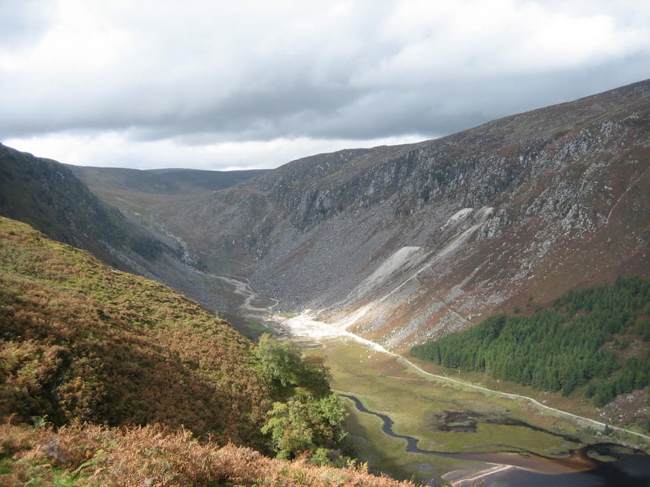
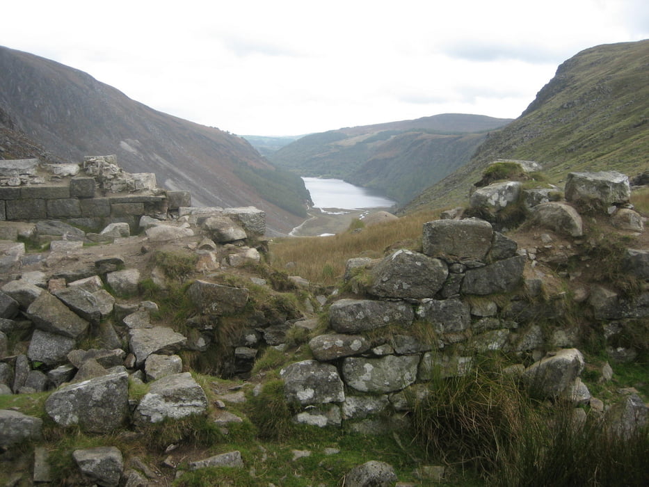
Rundwanderung ab Glendalough um die beiden Seen.

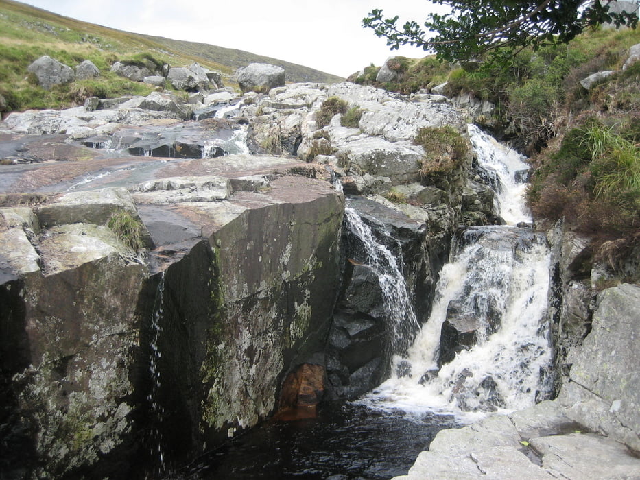
Sehr schöne Aussichten und abwechselungsreiche Landschaft.

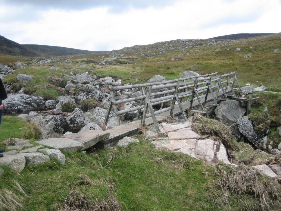
Feste Sohlen zu empfehlen , da man im Naturschutzgebiet teilweise auf vorgegeben Wegen geführt wird, die befestigt wurden (Drahtbefestigung incl. Krampen auf Holzbohlen)

galéria trás

Mapa trasy a výškový profil

  • Open Street Map
  • Google
Minimum height 121 m Maximum height 511 m Detailný pohľad

More about the tour author

Stesti
Member since 2009

Send private message

komentáre

Mit dem Auto bis zur Information in Glendalough (1. Parkplatz - kostenlos Parken)

GPS trasy

Trackpoints
  • GPX / Garmin Map Source (gpx) download
  • TCX / Garmin Training Center® (tcx) download
  • CRS / Garmin Training Center® (crs) download
  • Google Earth (kml) download
  • G7ToWin (g7t) download
  • TTQV (trk) download
  • Overlay (ovl) download
  • Fugawi (txt) download
  • Kompass (DAV) Track (tk) download
  • list trasy (pdf) download
  • Original file of the author (gpx) download

More about the tour author

Stesti
Member since 2009

Send private message
Share track
Add to my favorites
Remove from my favorites
Edit tags
My score
Rate
trasa: Wanderrundweg Glendalough Wicklow Montain
Druh: trasa
Dĺžka: 13,8 km
Evaluated on:
Doba:
Day(s)
Hour(s)
Minute(s)
ohodnotenie: Kraj pôžitok z túry kondícia technika