


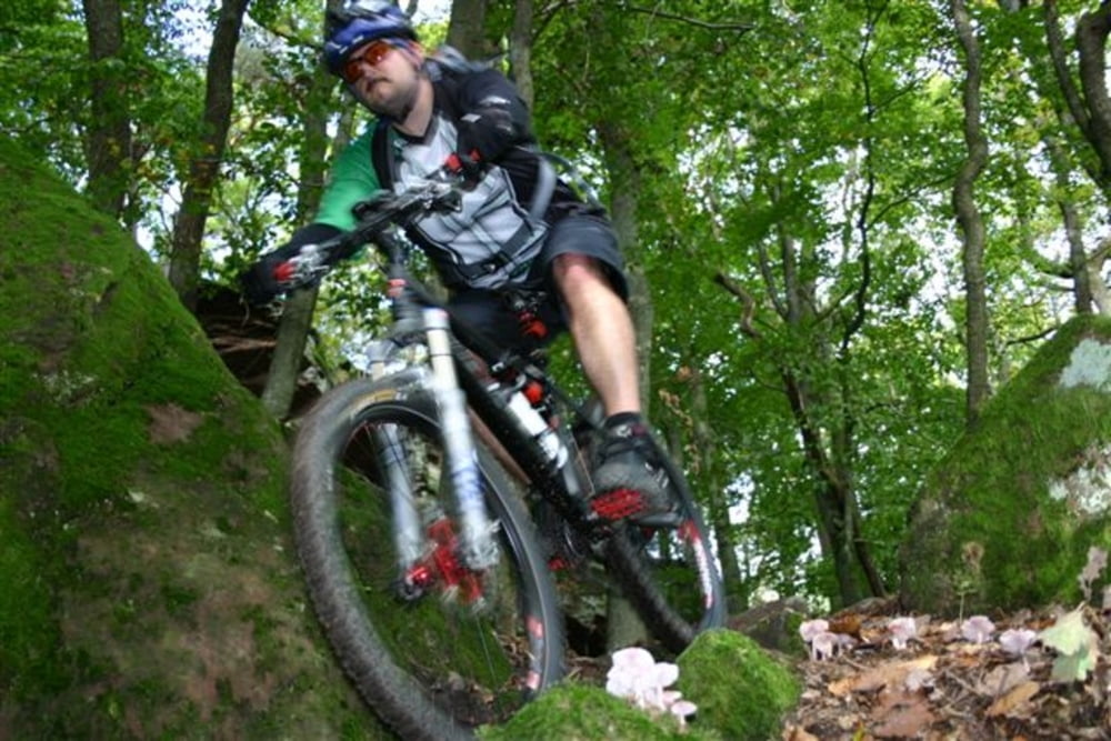
Sehr schöne Pfalztour mit allem was dazugehört. Von schnell und flowig bis zu weilen technisch!
Tourenplan:
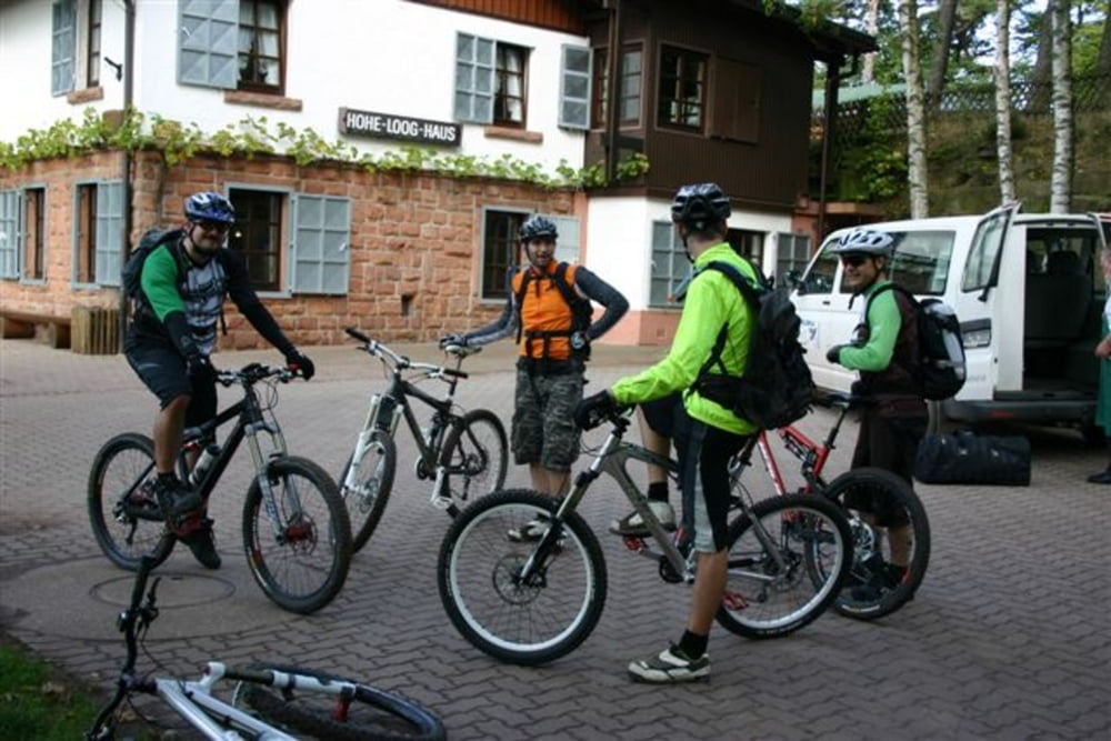
Klausentalhütte-Hambacher Schloß-Hohe Loog Haus-Parkplatz Hahnenschritt-Felsenmeer-Totenkopfhütte-Parkplatz Lolosruhe-Schänzelturm-Hüttenbrunnen-Ludwigsturm-Hüttenbrunnen-Kalmitparkplatz-Klausentalhütte
Es empfhielt sich gut einzukehren. Die Schlußabfahrt zur Klausentalhütte lädt zum "spielen" und springen ein (-:
Further information at
http://www.klausentalhütte.de/galéria trás

Mapa trasy a výškový profil
Minimum height 260 m
Maximum height 634 m
More about the tour author
|
|
votecoli |
komentáre
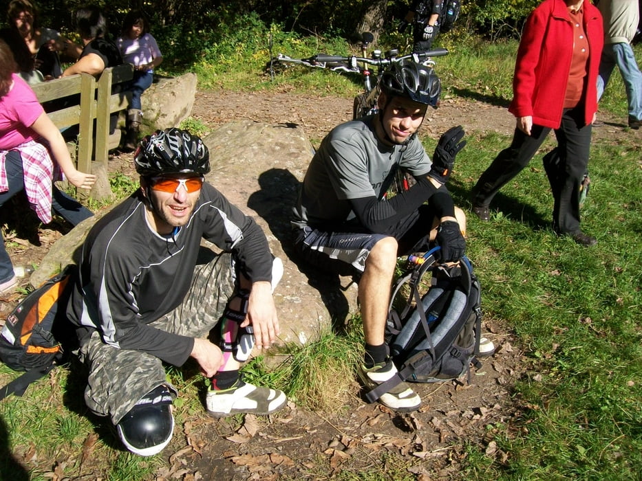
Unterhalb der Klausentalhütte kann man super Parken und zum Schluß noch gut Essen!
GPS trasy
Trackpoints-
GPX / Garmin Map Source (gpx) download
-
TCX / Garmin Training Center® (tcx) download
-
CRS / Garmin Training Center® (crs) download
-
Google Earth (kml) download
-
G7ToWin (g7t) download
-
TTQV (trk) download
-
Overlay (ovl) download
-
Fugawi (txt) download
-
Kompass (DAV) Track (tk) download
-
list trasy (pdf) download
-
Original file of the author (gpx) download
More about the tour author
|
|
votecoli |
Add to my favorites
Remove from my favorites
Edit tags
Open track
My score
Rate
Interessante Tour
Es lohnt sich, die Kreuzungspunkte der Tour vorher gründlich auf der Karte anzuschauen, sonst geht auf dem GPS-Gerät jedes mal die Scrollerei los ;-)
Gruß JP