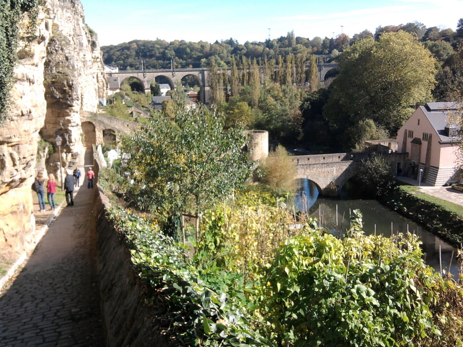
Wir haben einen Tagesausflug nach Luxemburg von Trier mit dem Zug gemacht. Vom Bahnhof sind wir zur Touristinformation. Wir erhielten den Flyer "Wenzel" und sind hauptsächlich diesem markierten Weg gefolgt.
galéria trás
Mapa trasy a výškový profil
Minimum height 130 m
Maximum height 327 m
komentáre

Mit der Bahn
GPS trasy
Trackpoints-
GPX / Garmin Map Source (gpx) download
-
TCX / Garmin Training Center® (tcx) download
-
CRS / Garmin Training Center® (crs) download
-
Google Earth (kml) download
-
G7ToWin (g7t) download
-
TTQV (trk) download
-
Overlay (ovl) download
-
Fugawi (txt) download
-
Kompass (DAV) Track (tk) download
-
list trasy (pdf) download
-
Original file of the author (gpx) download
Add to my favorites
Remove from my favorites
Edit tags
Open track
My score
Rate


